


15,4 km | 20 km-effort


Utilisateur


Application GPS de randonnée GRATUITE
 SityTrail
IGN / Instituts géographiques
SityTrail World
Le monde est à vous
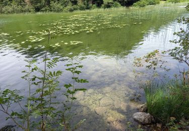
Randonnée Marche de 20 km à découvrir à Bourgogne-Franche-Comté, Jura, Le Frasnois. Cette randonnée est proposée par zefreefly.
Pour cette boucle un aller retour sur la crête des belvédères s’impose et cela en vos vraiment la peine.
Grosse montée pour être en haut avec de très beaux points de vues en récompense.


Marche

Marche

Marche

Marche
Marche

Marche

Marche
Marche
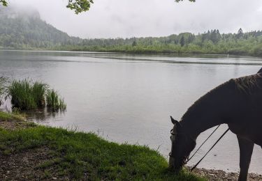
Randonnée équestre