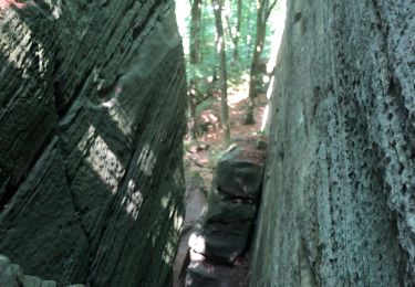
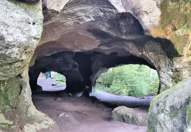
11,7 km | 15 km-effort
Mullerthal Trail Route
DomF
Utilisateur
Longueur
39 km
Altitude max
395 m
Dénivelé positif
975 m
Km-Effort
52 km
Altitude min
164 m
Dénivelé négatif
975 m
Boucle
Oui
Date de création :
2022-02-02 17:48:54.215
Dernière modification :
2024-04-05 07:45:51.058
3h35
Difficulté : Très difficile
Application GPS de randonnée GRATUITE
À propos
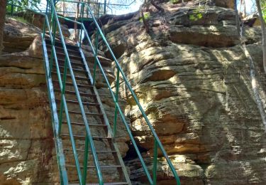
Randonnée V.T.T. de 39 km à découvrir à Inconnu, Canton Echternach, Echternach. Cette randonnée est proposée par DomF.
Localisation
Pays :
Luxembourg
Région :
Inconnu
Département/Province :
Canton Echternach
Commune :
Echternach
Localité :
Unknown
Départ:(Dec)
Départ:(UTM)
314480 ; 5521097 (32U) N.
Commentaires
Randonnées à proximité
Berdorf - B8 - Müllerthal
Marche
Moyen
(2)
Berdorf,
Inconnu,
Canton Echternach,
Luxembourg
3h 24min
Oui
MÜLLERTHAL (Bollendorf-Pont)
Marche
Facile
(1)
Berdorf,
Inconnu,
Canton Echternach,
Luxembourg
10,5 km | 14,3 km-effort
3h 10min
Oui
DeLux Wanderpark Felsenweg1, Weilerbach-Houllay
Marche
Très facile
(1)
Ernzen,
Rhénanie-Palatinat,
Eifel-Bitburg-Prüm,
Allemagne
20 km | 28 km-effort
5h 51min
Oui
mullerthal moitié E1
Marche
Moyen
Echternach,
Inconnu,
Canton Echternach,
Luxembourg
6,3 km | 9,2 km-effort
2h 1min
Non
echternacht tour du lac villa romaine
Marche
Très facile
Echternach,
Inconnu,
Canton Echternach,
Luxembourg
3,4 km | 3,8 km-effort
58min
Non
Itinérant Luxembourg Jour 4 Echternach-Beaufort
Marche
Très difficile
Echternach,
Inconnu,
Canton Echternach,
Luxembourg
25 km | 34 km-effort
6h 39min
Non
Mullerthal Trail 2 Echternach-Scheidgen 5/6 sections (PVDB)
Marche
Difficile
Echternach,
Inconnu,
Canton Echternach,
Luxembourg
27 km | 36 km-effort
8h 24min
Non
Felsenweg 1
A pied
Moyen
Echternacherbrück,
Rhénanie-Palatinat,
Eifel-Bitburg-Prüm,
Allemagne
14 km | 20 km-effort
4h 33min
Non
Autopédestre Echternach 1
A pied
Facile
Echternach,
Inconnu,
Canton Echternach,
Luxembourg
11 km | 16,1 km-effort
3h 39min
Oui