


7,6 km | 9,3 km-effort

Utilisateur


Application GPS de randonnée GRATUITE
 SityTrail
IGN / Instituts géographiques
SityTrail World
Le monde est à vous
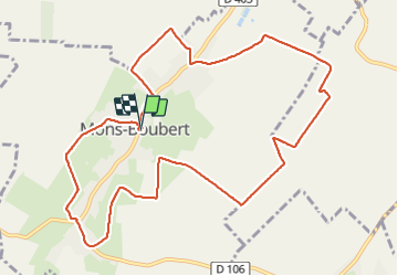
Randonnée Marche nordique de 11,2 km à découvrir à Hauts-de-France, Somme, Mons-Boubert. Cette randonnée est proposée par roselinemazeyrat.
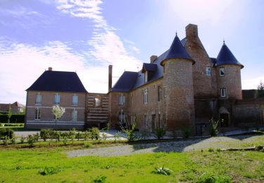
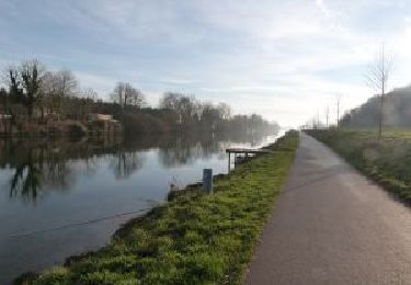
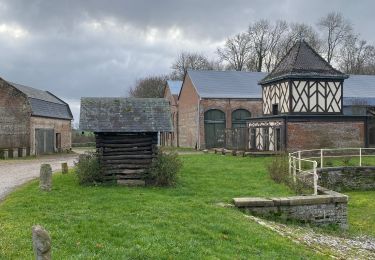
Jolie balade autour du moulin avec chemins de campagne et chemins creux. Traversée du village avec des maisons traditionnelles. Eglise intéressante.

Marche
Marche
Marche

Marche
Marche

Cyclotourisme
Marche nordique

Marche nordique
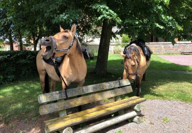
Randonnée équestre