


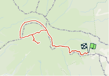

7,2 km | 11 km-effort


Utilisateur


Application GPS de randonnée GRATUITE
 SityTrail
IGN / Instituts géographiques
SityTrail World
Le monde est à vous
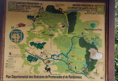
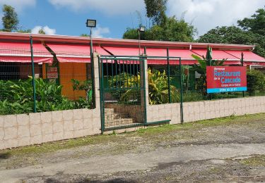
Randonnée Marche de 7,9 km à découvrir à Martinique, Inconnu, L'Ajoupa-Bouillon. Cette randonnée est proposée par enoitna.
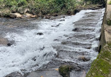
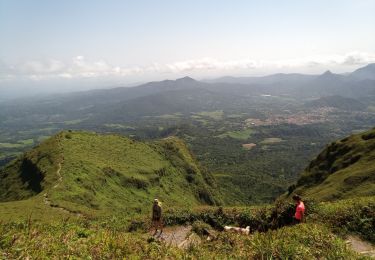
Des paysage magnifiques si on a la chance d’avoir du ciel dégagé.
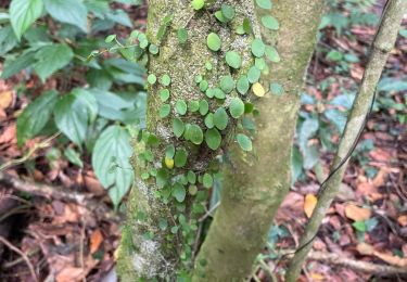
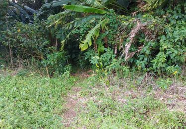
Une flore extraordinaire.
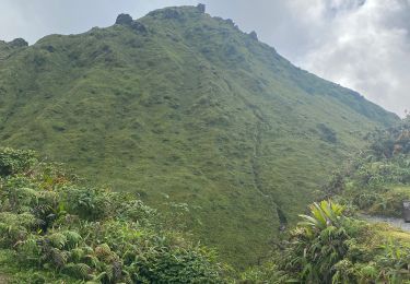
Des montées et descentes très techniques
Mieux vaut être en bonne conditions physiques
Marche

Marche
Marche
Marche
Marche
Marche
Marche
Marche
Marche