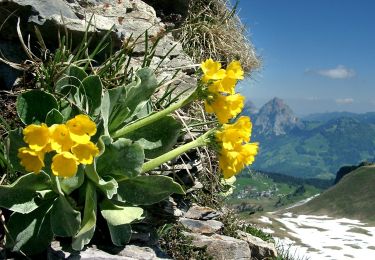
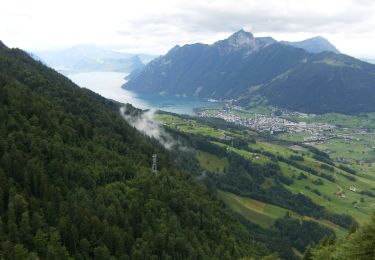
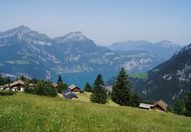
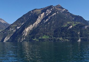
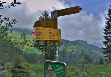
Randonnée Autre activité Seelisberg - w10_07_wegCH - Photo

Optez pour le retour à la nature GUIDE+

© OpenStreetMap contributors
Longueur
Longueur
8,5 km
Altitude max
Altitude max
877 m
Dénivelé positif
Dénivelé positif
499 m
Km-Effort
Km-Effort  
15,2 km
Altitude min
Altitude min
435 m
Dénivelé négatif
Dénivelé négatif
507 m
Boucle
Boucle
Non
Date de création :
2014-12-10 00:00:00.0
Dernière modification :
2014-12-10 00:00:00.0

(0 Avis)

Autre activité
Autre activité
3h27
Difficulté : Inconnu

Scannez ce code QR pour ouvrir la randonnée dans l'application SityTrail

Application GPS de randonnée GRATUITE

Logo SityTrail SityTrail

IGN / Instituts géographiques

Télécharger SityTrail sur l'App Store Télécharger SityTrail sur Google Play

Logo SityTrail SityTrail World

Le monde est à vous

Télécharger SityTrail sur l'App Store Télécharger SityTrail sur Google Play Télécharger SityTrail sur Huawei AppGallery

À propos

Randonnée Autre activité de 8,5 km à découvrir à Uri, Inconnu, Seelisberg. Cette randonnée est proposée par My Switzerland.

Profil altimétrique

Points d'intérêt

Point d'intérêt Seelisberg - Restaurant Rütlihaus - Photo
My Switzerland
Point d'intérêt Seelisberg - Restaurant Alpenblick - Photo
My Switzerland
Point d'intérêt Seelisberg - Restaurant Tell - Photo
My Switzerland
SEELISBERG 
Point d'intérêt Seedorf (UR) - Restaurant Seegarten - Photo
My Switzerland
SEEDORF (UR) 
Point d'intérêt Seedorf (UR) - Restaurant Zwyssighaus - Photo
My Switzerland
Point d'intérêt Seelisberg - Restaurant Bellevue - Photo
My Switzerland

Localisation

Pays :
Suisse
Région :
Uri
Département/Province :
Inconnu
Commune :
Seelisberg
Localité :
Unknown
Départ:(Dec)
Départ:(UTM)
469066 ; 5201968 (32T) N.

Randonnées à proximité

Randonnée A pied Morschach - Furgeli - Chlingenstock - Photo
A pied
GUIDE+

A pied

Facile
Morschach, Schwyz, Schwyz, Suisse
3,2 km | 6,2 km-effort
1h 23min
Non
Randonnée A pied Morschach - Schwyzerhöchi - Stoos - Photo
A pied
GUIDE+

A pied

Facile
Morschach, Schwyz, Schwyz, Suisse
4,5 km | 10,1 km-effort
2h 17min
Non
Randonnée A pied Flüelen - Wildheupfad - Photo
A pied
GUIDE+

A pied

Facile
Flüelen, Uri, Inconnu, Suisse
7,3 km | 14,5 km-effort
3h 17min
Non
Randonnée A pied Seedorf (UR) - Bauen-Schloss Beroldingen - Photo
A pied
GUIDE+

A pied

Facile
Seedorf (UR), Uri, Inconnu, Suisse
3,1 km | 7,4 km-effort
1h 40min
Non
Randonnée A pied Emmetten - Tritthütte - Cholstrasse - Photo
A pied
GUIDE+

A pied

Facile
Emmetten, Nidwald, Inconnu, Suisse
4,3 km | 6,3 km-effort
1h 25min
Non
Randonnée Marche Emmetten - y10_Niederbauen - Photo
Marche
GUIDE+

Marche

Très facile
Emmetten, Nidwald, Inconnu, Suisse
3,9 km | 8,5 km-effort
1h 53min
Non
Randonnée V.T.T. Ingenbohl - Mythen - Photo
V.T.T.
GUIDE+

V.T.T.

Très facile
Ingenbohl, Schwyz, Schwyz, Suisse
37 km | 57 km-effort
13h 26min
Oui
Randonnée Marche Seelisberg - Der Weg der Schweiz: Traumwege am Urnersee - Photo
Marche
GUIDE+

Marche

Très facile
Seelisberg, Uri, Inconnu, Suisse
33 km | 53 km-effort
13h 48min
Non
Randonnée Marche Ingenbohl - sf09_e5d - Photo
Marche
GUIDE+

Marche

Très facile
Ingenbohl, Schwyz, Schwyz, Suisse
15,1 km | 26 km-effort
4h 40min
Non


Fermer
Mes abonnements