


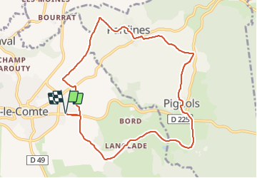

8,6 km | 11,2 km-effort

Utilisateur GUIDE


Application GPS de randonnée GRATUITE
 SityTrail
IGN / Instituts géographiques
SityTrail World
Le monde est à vous
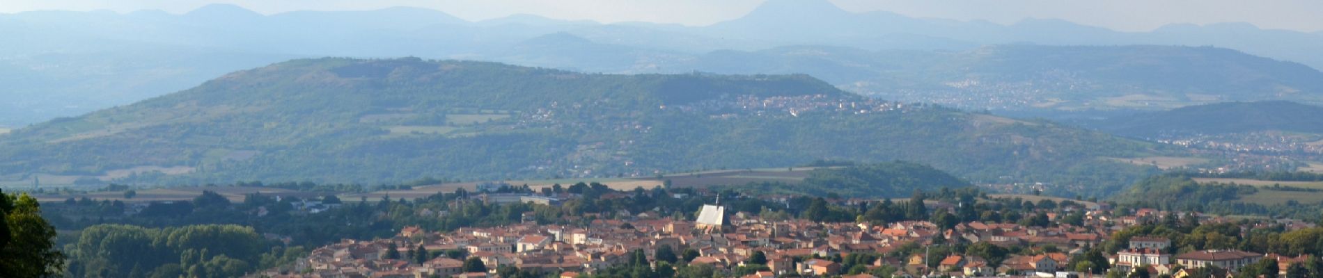
Randonnée Marche de 10 km à découvrir à Auvergne-Rhône-Alpes, Puy-de-Dôme, Vic-le-Comte. Cette randonnée est proposée par jagarnier.
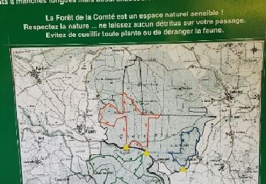
Une randonnée riche pour ses bâtiments historiques, sa diversité géologique, la faune et flore de la forêt de la Comté ou encore pour ses 4 ruisseaux qui parcourent ce territoire et son patrimoine rural lié à la vigne.


Marche

Marche

Marche

Marche

A pied

A pied

A pied

A pied
Marche