


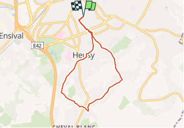

4,7 km | 6,4 km-effort

Utilisateur


Application GPS de randonnée GRATUITE
 SityTrail
IGN / Instituts géographiques
SityTrail World
Le monde est à vous
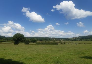
Randonnée Marche de 6,5 km à découvrir à Wallonie, Liège, Verviers. Cette randonnée est proposée par Bob4800.
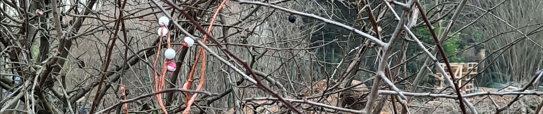
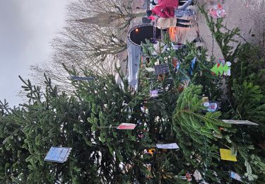
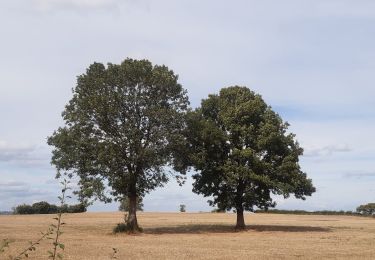
Partis sous le soleil et rentrés dans le brouillard. Petites routes macadamisées très peu fréquentées. Au vu des photos, on pourrait intituler cette balade le circuit des incivilités.


Marche

Marche

Marche

Marche

Marche
Marche
Marche
Marche

Marche