


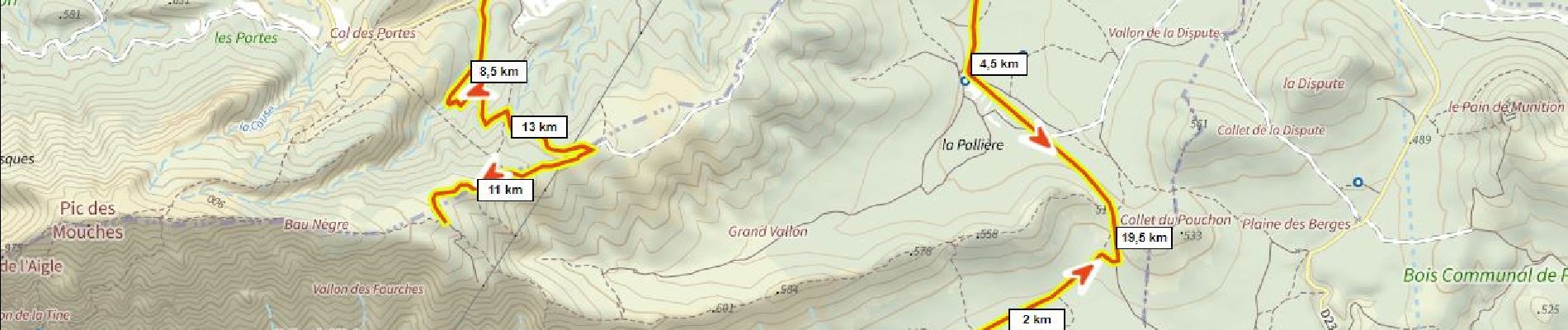
10 km | 19 km-effort

Utilisateur


Application GPS de randonnée GRATUITE
 SityTrail
IGN / Instituts géographiques
SityTrail World
Le monde est à vous
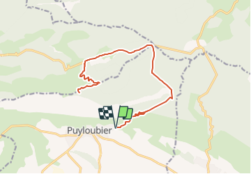
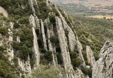
Randonnée V.T.T. de 22 km à découvrir à Provence-Alpes-Côte d'Azur, Bouches-du-Rhône, Puyloubier. Cette randonnée est proposée par ericberlin.
Chemins DFCI roulants non techniques.
Vues magnifiques.
Aller et retour par le même trajet.
Eviter de raccourcir par le chemin de Malivert complètement raviné en 2022 (cote 684m à 500m)


Marche

Marche

Marche

Marche

A pied

Marche
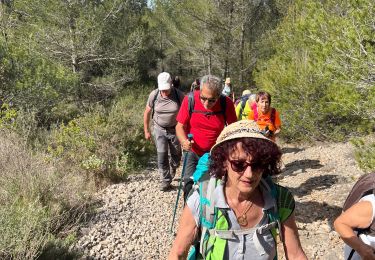
Marche
Marche
Marche