


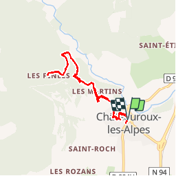

8,2 km | 18,4 km-effort

Utilisateur


Application GPS de randonnée GRATUITE
 SityTrail
IGN / Instituts géographiques
SityTrail World
Le monde est à vous
Randonnée Marche de 8 km à découvrir à Provence-Alpes-Côte d'Azur, Hautes-Alpes, Châteauroux-les-Alpes. Cette randonnée est proposée par BLANCHET.
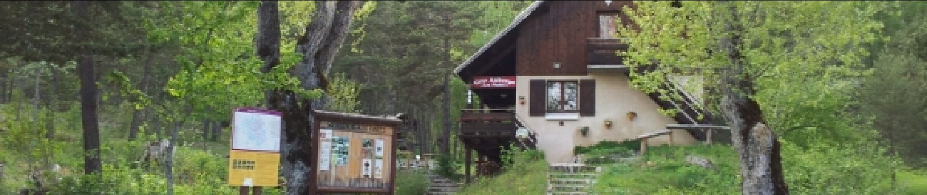
c est une balade
pas une rando. on peut manger au refuge. En été on évitera pas les
voitures sur ma route de la cascade.


Marche

Marche

Marche

Marche

Marche

Marche

Marche

Marche

Marche