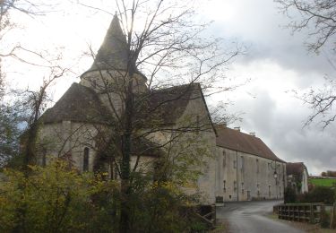
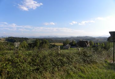
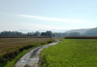
6 km | 7,9 km-effort
15-Lac de Doazon
jpgaillard
Utilisateur
Longueur
4,7 km
Altitude max
230 m
Dénivelé positif
130 m
Km-Effort
6,5 km
Altitude min
160 m
Dénivelé négatif
132 m
Boucle
Oui
Date de création :
2022-01-18 17:58:03.123
Dernière modification :
2022-01-18 17:58:47.336
1h28
Difficulté : Moyen
Application GPS de randonnée GRATUITE
À propos
Randonnée Marche de 4,7 km à découvrir à Nouvelle-Aquitaine, Pyrénées-Atlantiques, Doazon. Cette randonnée est proposée par jpgaillard.
Localisation
Pays :
France
Région :
Nouvelle-Aquitaine
Département/Province :
Pyrénées-Atlantiques
Commune :
Doazon
Localité :
Unknown
Départ:(Dec)
Départ:(UTM)
698095 ; 4814082 (30T) N.
Commentaires
Randonnées à proximité
DOAZON LE LAC labelisation du tour du lac
Marche
Moyen
Doazon,
Nouvelle-Aquitaine,
Pyrénées-Atlantiques,
France
1h 48min
Oui
CC_Velay_FD_27_Castillon_Sauvelade_20081112
Marche
Facile
Castillon,
Nouvelle-Aquitaine,
Pyrénées-Atlantiques,
France
22 km | 27 km-effort
5h 15min
Non
Mon Compostelle quatorzième étape
Marche
Très difficile
Pomps,
Nouvelle-Aquitaine,
Pyrénées-Atlantiques,
France
55 km | 68 km-effort
10h 45min
Non
GR 65 Artez en Béarn > Sauvelade
Marche
Facile
Arthez-de-Béarn,
Nouvelle-Aquitaine,
Pyrénées-Atlantiques,
France
19,5 km | 23 km-effort
4h 48min
Non
De Castillon à Arthez de Béarn
Marche
Moyen
Pomps,
Nouvelle-Aquitaine,
Pyrénées-Atlantiques,
France
8,1 km | 10 km-effort
1h 45min
Non
Compostelle Pomps Savelade
Marche
Moyen
Pomps,
Nouvelle-Aquitaine,
Pyrénées-Atlantiques,
France
33 km | 39 km-effort
6h 22min
Non
6 pomps
Marche
Difficile
Pomps,
Nouvelle-Aquitaine,
Pyrénées-Atlantiques,
France
27 km | 33 km-effort
7h 47min
Non
arzacq arraziguet-pomps
Marche
Très facile
Pomps,
Nouvelle-Aquitaine,
Pyrénées-Atlantiques,
France
21 km | 27 km-effort
5h 51min
Non
StJ-J41-Pomps-Sauvelade
Marche
Très difficile
Pomps,
Nouvelle-Aquitaine,
Pyrénées-Atlantiques,
France
27 km | 33 km-effort
4h 53min
Non