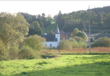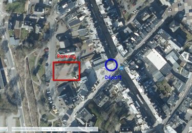

St-Vith

mumu.larandonneuse
Utilisateur GUIDE

Longueur
15,9 km

Altitude max
536 m

Dénivelé positif
317 m

Km-Effort
20 km

Altitude min
406 m

Dénivelé négatif
315 m
Boucle
Oui
Date de création :
2022-01-18 12:53:42.457
Dernière modification :
2022-02-13 15:26:05.281
4h34
Difficulté : Facile

Application GPS de randonnée GRATUITE
À propos
Randonnée Marche de 15,9 km à découvrir à Wallonie, Liège, Saint-Vith. Cette randonnée est proposée par mumu.larandonneuse.
Description
Suivre les points-noeuds n ° 22 41 55 70 53 60 [56 90 61] 54 47 22
[Raccourci possible - 12,3 km]
ℹ Go Ostbelgien.eu
Localisation
Pays :
Belgique
Région :
Wallonie
Département/Province :
Liège
Commune :
Saint-Vith
Localité :
Unknown
Départ:(Dec)
Départ:(UTM)
295254 ; 5573761 (32U) N.
Commentaires
Randonnées à proximité

St Vith


Marche
Facile
(1)
Saint-Vith,
Wallonie,
Liège,
Belgique

16,1 km | 19,5 km-effort
4h 26min
Oui

RB-Lg-08_Lommersweiler_via-racc


Marche
Très difficile
(2)
Saint-Vith,
Wallonie,
Liège,
Belgique

16,3 km | 22 km-effort
4h 55min
Oui

RB-Lg-08_Lommersweiler


Marche
Très difficile
(3)
Saint-Vith,
Wallonie,
Liège,
Belgique

21 km | 28 km-effort
6h 18min
Oui

Rodt - Chiens de traineau


Marche
Moyen
Saint-Vith,
Wallonie,
Liège,
Belgique

8,4 km | 10,6 km-effort
1h 52min
Oui

20230103 - TOTEMUS Saint-Vith - 6.7 Km


Marche
Moyen
(1)
Saint-Vith,
Wallonie,
Liège,
Belgique

6,7 km | 8,9 km-effort
2h 7min
Oui

20220904 - Rodt 4.7 Km


Marche
Facile
Saint-Vith,
Wallonie,
Liège,
Belgique

4,7 km | 5,9 km-effort
1h 20min
Oui

Rodt - BierMuseum ❄️


Marche
Moyen
Saint-Vith,
Wallonie,
Liège,
Belgique

9,5 km | 11,9 km-effort
2h 20min
Oui

Saint-Vith 🎅🎄✨️


Marche
Moyen
Saint-Vith,
Wallonie,
Liège,
Belgique

10,7 km | 13,4 km-effort
2h 29min
Oui

Pn Rodt 49 Km


Vélo électrique
Très facile
Saint-Vith,
Wallonie,
Liège,
Belgique

49 km | 61 km-effort
Inconnu
Oui


 SityTrail


Très belle boucle facile, sur le Ravel, routes de campagne et larges chemins forestiers