


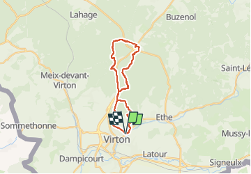


29 km | 35 km-effort

Utilisateur


Application GPS de randonnée GRATUITE
 SityTrail
IGN / Instituts géographiques
SityTrail World
Le monde est à vous
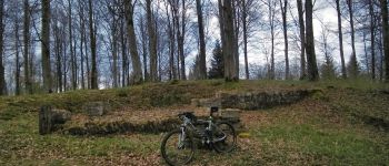
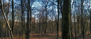
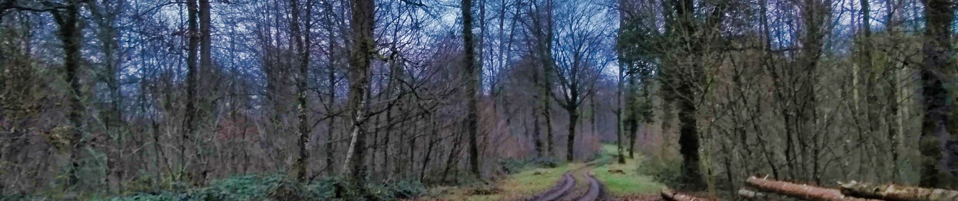
Randonnée V.T.T. de 19,4 km à découvrir à Wallonie, Luxembourg, Virton. Cette randonnée est proposée par Pascal L.
Départ/Retour: Virton (Delhaize)
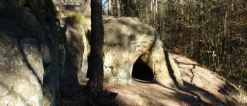
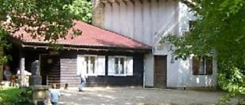
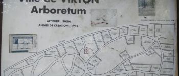
Endroits de passage: Camping, Plein Fays, Arboretum, la Grange au Bois, Fond d'Awé, la Cascade, Haut du Plain, Tête du Chien, Trou des Fées, Croix Rouge, la Foire, Hambressart, le Posson, Arboretum, Croix Vierge Jacques, Val d'Away
Remarque: balade à réaliser idéalement par temps très sec.
(2022.01.14)


28 photos au total. Cliquez sur une photo pour les afficher toutes dans la galerie.

Marche

V.T.T.

Marche

A pied

Marche

Marche

Cheval

V.T.T.

V.T.T.