


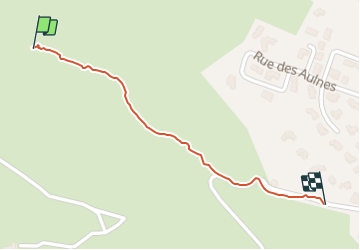

12,1 km | 17,3 km-effort

Utilisateur


Application GPS de randonnée GRATUITE
 SityTrail
IGN / Instituts géographiques
SityTrail World
Le monde est à vous
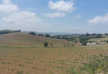
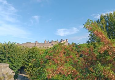
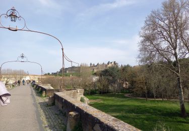
Randonnée Marche de 652 m à découvrir à Occitanie, Aude, Carcassonne. Cette randonnée est proposée par jpp2caunes.
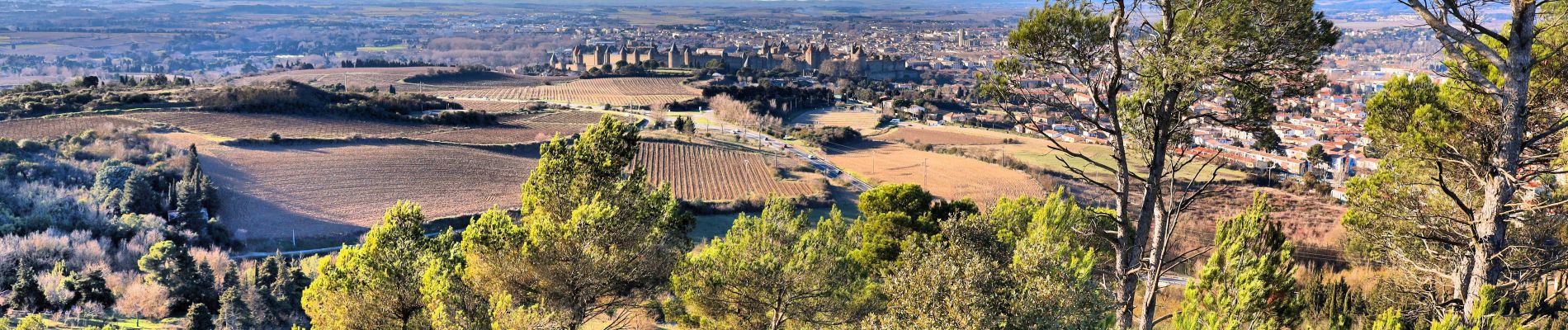
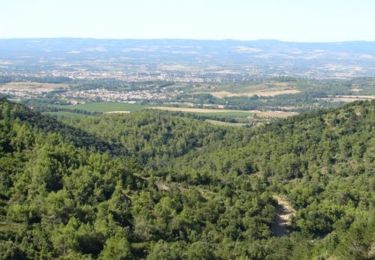
Piste à suivre dans l'arborétum de la Cavayère pour accéder à un superbe point de vue sur la cité de Carcassonne. Photos prises début janvier malheureusement !


Marche

Marche
Marche
Marche
Marche
Marche
Marche