![](/images/other/stat-length.png)
![Randonnée A pied Paris - Paris sans feuilles - Photo](https://media.geolcdn.com/t/1900/400/7d336714-0a20-4cfa-bfd8-e46d3d5aa930.jpg&format=pjpeg&maxdim=2)
Paris sans feuilles
chessyca
Utilisateur GUIDE
![Longueur](/images/other/stat-length.png)
Longueur
6,9 km
![Altitude max](https://static1.geolcdn.com/siteimages/upload/files/1508320355ic_sort_altitude_max_24dp.png)
Altitude max
78 m
![Dénivelé positif](https://static1.geolcdn.com/siteimages/upload/files/1508320355ic_sort_den_pos_24dp.png)
Dénivelé positif
97 m
![Km-Effort](/images/other/stat-length.png)
Km-Effort
8,1 km
![Altitude min](https://static1.geolcdn.com/siteimages/upload/files/1508320355ic_sort_altitude_min_24dp.png)
Altitude min
34 m
![Dénivelé négatif](https://static1.geolcdn.com/siteimages/upload/files/1508320355ic_sort_den_neg_24dp.png)
Dénivelé négatif
66 m
![Boucle](https://static1.geolcdn.com/siteimages/upload/files/16400158638029165_repeat_loop_refresh_sync_direction_icon.png)
Boucle
Non
Date de création :
2022-01-14 11:09:42.613
Dernière modification :
2022-01-14 22:22:10.03
![A pied](https://static1.geolcdn.com/sitytour/trail-icons/100.png)
1h50
Difficulté : Facile
![Scannez ce code QR pour ouvrir la randonnée dans l'application SityTrail](https://capi.geolives.com/qq0zvz2zws4bq2lad0pu/sitytour/trails/3050973/qr.png?size=200)
Application GPS de randonnée GRATUITE
À propos
Randonnée A pied de 6,9 km à découvrir à Île-de-France, Paris, Paris. Cette randonnée est proposée par chessyca.
Description
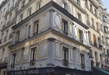
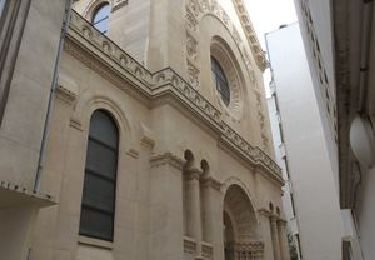
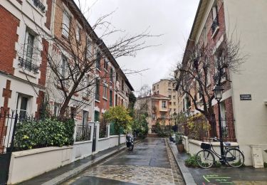
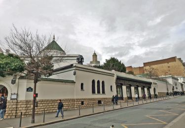
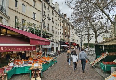
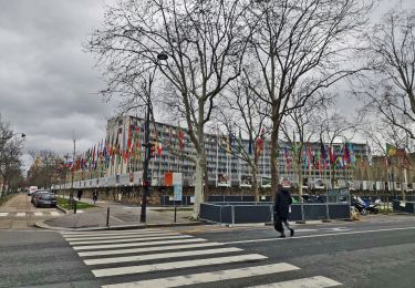
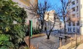
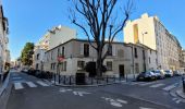
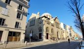
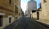
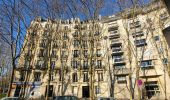
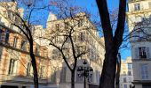
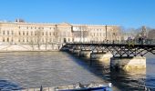
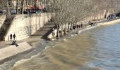
Petite balade entre deux expos avec le nez en l'air puisqu'à cette saison on peut admirer l'architecture parisienne sans les feuilles aux arbres
Localisation
Pays :
France
Région :
Île-de-France
Département/Province :
Paris
Commune :
Paris
Localité :
Paris 2e Arrondissement
Départ:(Dec)
Départ:(UTM)
451588 ; 5413361 (31U) N.
Commentaires
Randonnées à proximité
![Randonnée Marche Paris - Rando à thème : Georges Brassens - Parcours complet - Photo](https://media.geolcdn.com/t/375/260/dd7b2106-cdfc-45d2-b882-21cd74d02774.jpg&format=jpg&maxdim=2)
![Marche Marche](https://static1.geolcdn.com/sitytour/trail-icons/101.png)
Rando à thème : Georges Brassens - Parcours complet
Marche
Difficile
(1)
Paris,
Île-de-France,
Paris,
France
![](/images/other/stat-length.png)
34 km | 39 km-effort
6h 49min
![](https://static1.geolcdn.com/siteimages/upload/files/16400158638029165_repeat_loop_refresh_sync_direction_icon.png)
Non
![Randonnée Marche Paris - Balade Paris Mars - Street art 13 ème / Tours Novel / Mouffetard---> Montorgueil - Photo](https://media.geolcdn.com/t/375/260/f8997d8c-ff6a-4865-a3fa-0c8ffc9300f3.jpg&format=jpg&maxdim=2)
![Marche Marche](https://static1.geolcdn.com/sitytour/trail-icons/101.png)
Balade Paris Mars - Street art 13 ème / Tours Novel / Mouffetard---> Montorgueil
Marche
Très facile
(1)
Paris,
Île-de-France,
Paris,
France
![](/images/other/stat-length.png)
18,4 km | 22 km-effort
6h 21min
![](https://static1.geolcdn.com/siteimages/upload/files/16400158638029165_repeat_loop_refresh_sync_direction_icon.png)
Non
![Randonnée Marche Paris - Balade parisienne le 28 février - Photo](https://media.geolcdn.com/t/375/260/68aea2de-42ab-49c3-94e6-4fbf1fbdd020.jpg&format=jpg&maxdim=2)
![Marche Marche](https://static1.geolcdn.com/sitytour/trail-icons/101.png)
Balade parisienne le 28 février
Marche
Très facile
(1)
Paris,
Île-de-France,
Paris,
France
![](/images/other/stat-length.png)
23 km | 27 km-effort
5h 39min
![](https://static1.geolcdn.com/siteimages/upload/files/16400158638029165_repeat_loop_refresh_sync_direction_icon.png)
Non
![Randonnée Marche Paris - 034 - Paris - De place Pereire à République - Photo](https://media.geolcdn.com/t/375/260/6eac2f44-ae7d-4c3a-b4a0-edb2243c2709.jpeg&format=jpg&maxdim=2)
![Marche Marche](https://static1.geolcdn.com/sitytour/trail-icons/101.png)
034 - Paris - De place Pereire à République
Marche
Moyen
(1)
Paris,
Île-de-France,
Paris,
France
![](/images/other/stat-length.png)
9,5 km | 11,2 km-effort
2h 32min
![](https://static1.geolcdn.com/siteimages/upload/files/16400158638029165_repeat_loop_refresh_sync_direction_icon.png)
Non
![Randonnée Marche Paris - PAH-02 - Photo](https://media.geolcdn.com/t/375/260/ee3b1f27-bb87-433f-86a1-54f44c35876e.jpg&format=jpg&maxdim=2)
![Marche Marche](https://static1.geolcdn.com/sitytour/trail-icons/101.png)
![Randonnée Marche Paris - DP75-16 De Chevaleret à Tolbiac - Photo](https://media.geolcdn.com/t/375/260/8a47c3b6-24b3-49fa-a2b6-5293a39f948c.jpg&format=jpg&maxdim=2)
![Marche Marche](https://static1.geolcdn.com/sitytour/trail-icons/101.png)
DP75-16 De Chevaleret à Tolbiac
Marche
Facile
(1)
Paris,
Île-de-France,
Paris,
France
![](/images/other/stat-length.png)
4,3 km | 5,1 km-effort
1h 8min
![](https://static1.geolcdn.com/siteimages/upload/files/16400158638029165_repeat_loop_refresh_sync_direction_icon.png)
Non
![Randonnée Marche Paris - DP75-15 Du square Saint-Médard à Chevaleret - Photo](https://media.geolcdn.com/t/375/260/78e272bf-5c47-4ff2-b6dd-62e8326c2885.jpg&format=jpg&maxdim=2)
![Marche Marche](https://static1.geolcdn.com/sitytour/trail-icons/101.png)
DP75-15 Du square Saint-Médard à Chevaleret
Marche
Facile
(1)
Paris,
Île-de-France,
Paris,
France
![](/images/other/stat-length.png)
3,3 km | 4 km-effort
54min
![](https://static1.geolcdn.com/siteimages/upload/files/16400158638029165_repeat_loop_refresh_sync_direction_icon.png)
Non
![Randonnée Marche Paris - DP75-14 De Sèvres-Babylone au square Saint-Médard - Photo](https://media.geolcdn.com/t/375/260/a199d31d-b175-4057-acc7-f0c89d3fc917.jpg&format=jpg&maxdim=2)
![Marche Marche](https://static1.geolcdn.com/sitytour/trail-icons/101.png)
DP75-14 De Sèvres-Babylone au square Saint-Médard
Marche
Facile
(1)
Paris,
Île-de-France,
Paris,
France
![](/images/other/stat-length.png)
5 km | 5,8 km-effort
1h 18min
![](https://static1.geolcdn.com/siteimages/upload/files/16400158638029165_repeat_loop_refresh_sync_direction_icon.png)
Non
![Randonnée Marche Paris - DP75-13 De Vaugirard à Sèvres-Babylone - Photo](https://media.geolcdn.com/t/375/260/ef3b90ff-736f-49ef-8953-54f5a63f322a.jpg&format=jpg&maxdim=2)
![Marche Marche](https://static1.geolcdn.com/sitytour/trail-icons/101.png)
DP75-13 De Vaugirard à Sèvres-Babylone
Marche
Facile
(1)
Paris,
Île-de-France,
Paris,
France
![](/images/other/stat-length.png)
4,4 km | 5 km-effort
1h 8min
![](https://static1.geolcdn.com/siteimages/upload/files/16400158638029165_repeat_loop_refresh_sync_direction_icon.png)
Non