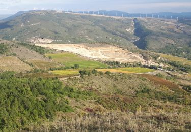
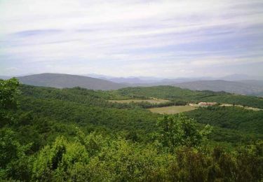
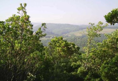
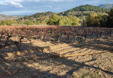
Randonnée Marche Limoux - Magrie Gours - Photo
 Jean Marie Pons
Jean Marie Pons

Utilisateur

© OpenStreetMap contributors
Longueur
Longueur
21 km
Altitude max
Altitude max
394 m
Dénivelé positif
Dénivelé positif
567 m
Km-Effort
Km-Effort  
28 km
Altitude min
Altitude min
172 m
Dénivelé négatif
Dénivelé négatif
568 m
Boucle
Boucle
Oui
Date de création :
2022-01-13 07:52:32.561
Dernière modification :
2022-01-13 15:57:18.905

(1 Avis)

Marche
Marche
5h15
Difficulté : Facile

Scannez ce code QR pour ouvrir la randonnée dans l'application SityTrail

Application GPS de randonnée GRATUITE

Logo SityTrail SityTrail

IGN / Instituts géographiques

Télécharger SityTrail sur l'App Store Télécharger SityTrail sur Google Play

Logo SityTrail SityTrail World

Le monde est à vous

Télécharger SityTrail sur l'App Store Télécharger SityTrail sur Google Play Télécharger SityTrail sur Huawei AppGallery

À propos

Randonnée Marche de 21 km à découvrir à Occitanie, Aude, Limoux. Cette randonnée est proposée par Jean Marie Pons.

Profil altimétrique

Localisation

Pays :
France
Région :
Occitanie
Département/Province :
Aude
Commune :
Limoux
Localité :
Unknown
Départ:(UTM)
435183 ; 4767420 (31T) N.

Commentaires

Veuillez vous connecter pour laisser un commentaire ou une note


randonnée agréable, intéressante en ce jeudi 24-02-22. Le tracé au niveau du château, je ne l'ai pas vu, donc partir vers le lotissement à gauche, puis route. Audier.


Randonnées à proximité

Randonnée Marche Limoux - Limoux- Ninaute- Mounnet - Photo
Marche
mikaou.t

Marche

Moyen
(1)
Limoux, Occitanie, Aude, France
10,9 km | 15,7 km-effort
3h 0min
Oui
Randonnée Marche Cournanel - MAGRIE COURNANEL  Cabanes en fete - Photo
Marche
jopost

Marche

Très facile
(2)
Cournanel, Occitanie, Aude, France
7,4 km | 8,6 km-effort
4h 22min
Oui
Randonnée V.T.T. Limoux - Limoux, toureille, croix st Pierre   - Photo
V.T.T.
schwarzy

V.T.T.

Difficile
Limoux, Occitanie, Aude, France
30 km | 42 km-effort
4h 41min
Oui
Randonnée V.T.T. Pieusse - Los camins de la blanqueta 2006 - Photo
V.T.T.
tracegps

V.T.T.

Très difficile
Pieusse, Occitanie, Aude, France
53 km | 71 km-effort
4h 30min
Oui
Randonnée V.T.T. Pieusse - Los camins de la blanqueta (prox. Limoux) - Photo
V.T.T.
tracegps

V.T.T.

Très difficile
Pieusse, Occitanie, Aude, France
53 km | 72 km-effort
6h 0min
Oui
Randonnée Marche Cournanel - COURNANEL les cabanes porposée par Pascale - Photo
Marche
Mamilaure

Marche

Très facile
Cournanel, Occitanie, Aude, France
6,1 km | 7,1 km-effort
1h 29min
Oui
Randonnée Marche Cournanel - cournanel les cabanes  - Photo
Marche
cappelle

Marche

Facile
Cournanel, Occitanie, Aude, France
6,2 km | 7,2 km-effort
1h 56min
Oui
Randonnée Marche Pauligne - pauligne, Cassagnau, Le Soulié, Pauligne - Photo
Marche
christinetondeur

Marche

Facile
Pauligne, Occitanie, Aude, France
9,5 km | 12,1 km-effort
2h 39min
Oui
Randonnée Marche Pauligne - Pauligne,Malras,La Digne d'Amont, Ajac, Cassagnau - Photo
Marche
christinetondeur

Marche

Moyen
(1)
Pauligne, Occitanie, Aude, France
17,7 km | 24 km-effort
5h 28min
Oui


Fermer
Mes abonnements