


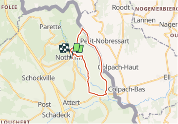


7,8 km | 10,8 km-effort


Randonnez sur et autour des GR ® wallons (Sentiers de Grande Randonnée). PRO


Application GPS de randonnée GRATUITE
 SityTrail
IGN / Instituts géographiques
SityTrail World
Le monde est à vous
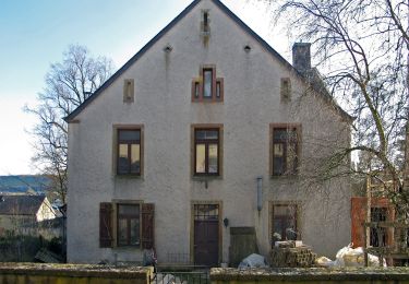
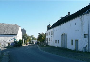
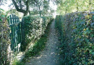
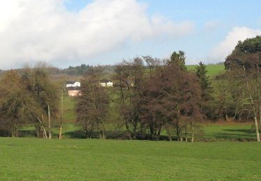
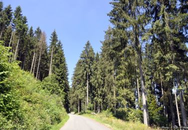
Randonnée Marche de 9,4 km à découvrir à Wallonie, Luxembourg, Attert. Cette randonnée est proposée par GR Rando.
Marche
Marche
A pied
A pied
Marche

Marche
Marche
A pied
A pied