


11,5 km | 14,5 km-effort


Randonnez sur et autour des GR ® wallons (Sentiers de Grande Randonnée). PRO


Application GPS de randonnée GRATUITE
 SityTrail
IGN / Instituts géographiques
SityTrail World
Le monde est à vous
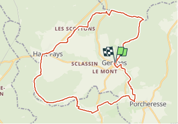
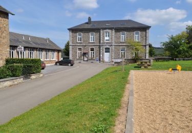
Randonnée Marche de 21 km à découvrir à Wallonie, Luxembourg, Daverdisse. Cette randonnée est proposée par GR Rando.
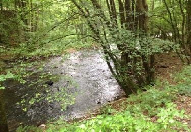
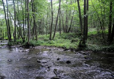
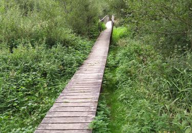
Majoritairement forestière, sillonnant un relief accidenté, cette RB côtoie l’Almache, affluent de la Lesse, et transite par le surprenant monument aux Maquisards, le trou de l’Ermite, un pont classé... Elle permet de combiner plusieurs boucles, en un ou deux jours, et de composer votre itinéraire à la carte.

Marche
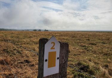
A pied

Marche

Marche
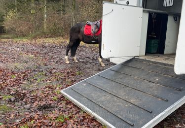
Randonnée équestre
Marche
Marche
Marche
A pied
Lève la Gembes
Super Rando