


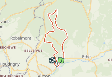


29 km | 35 km-effort


Utilisateur


Application GPS de randonnée GRATUITE
 SityTrail
IGN / Instituts géographiques
SityTrail World
Le monde est à vous
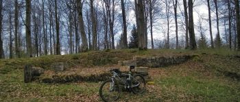
Randonnée V.T.T. de 12,8 km à découvrir à Wallonie, Luxembourg, Virton. Cette randonnée est proposée par Pascal L.
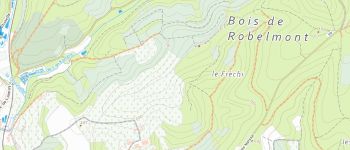
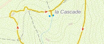
Départ/Retour: Virton (Pierrard)
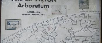
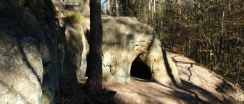
Endroits de passage: Camping, Plein Fays, Arboretum de Virton, Fond d'Awé, la Cascade, Fond des Loges, Repaire des Zigomars, Fontaine de la Mère-Dieu, Le Sentier des Songes, Fosse Aux Aunes, Vallée de Rabais, Fagne Pierrard
Remarque: à faire idéalement par temps sec et clair
(2021.12.19)


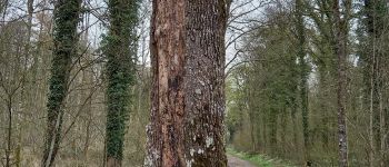
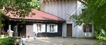
25 photos au total. Cliquez sur une photo pour les afficher toutes dans la galerie.

Marche

V.T.T.

Marche

A pied

Marche

Marche

V.T.T.

V.T.T.

V.T.T.