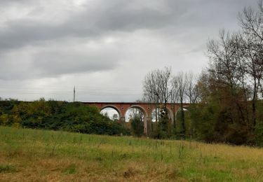
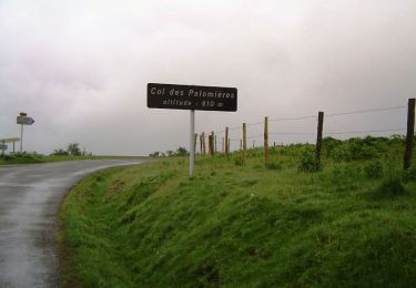
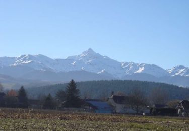
9,6 km | 12,7 km-effort
Barbazan dessus Hitte
GIRAUDEL
Utilisateur
Longueur
8,7 km
Altitude max
524 m
Dénivelé positif
271 m
Km-Effort
12,3 km
Altitude min
383 m
Dénivelé négatif
270 m
Boucle
Oui
Date de création :
2022-01-03 17:57:48.231
Dernière modification :
2022-01-03 17:59:38.688
2h48
Difficulté : Facile
Application GPS de randonnée GRATUITE
À propos
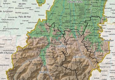
Randonnée Marche de 8,7 km à découvrir à Occitanie, Hautes-Pyrénées, Barbazan-Dessus. Cette randonnée est proposée par GIRAUDEL.
Localisation
Pays :
France
Région :
Occitanie
Département/Province :
Hautes-Pyrénées
Commune :
Barbazan-Dessus
Localité :
Unknown
Départ:(Dec)
Départ:(UTM)
267685 ; 4782800 (31T) N.
Commentaires
Randonnées à proximité
Lhez-Les ponts G4 fait en 2021
Marche
Difficile
Lhez,
Occitanie,
Hautes-Pyrénées,
France
11,2 km | 14,4 km-effort
3h 22min
Oui
lhezlespontsfaif
Marche
Très facile
Lhez,
Occitanie,
Hautes-Pyrénées,
France
11,6 km | 14,9 km-effort
3h 15min
Oui
lhezlespontsfaif
Marche
Très facile
(1)
Lhez,
Occitanie,
Hautes-Pyrénées,
France
11,6 km | 14,9 km-effort
3h 15min
Oui
montgaillard G2
Marche
Très facile
(1)
Montgaillard,
Occitanie,
Hautes-Pyrénées,
France
10,4 km | 14,2 km-effort
3h 0min
Oui
Autour de Bagnères-de-bigorre
V.T.T.
Difficile
Vielle-Adour,
Occitanie,
Hautes-Pyrénées,
France
39 km | 51 km-effort
3h 15min
Oui
Bagnères-de-Bigorre - Montgaillard
V.T.T.
Moyen
Vielle-Adour,
Occitanie,
Hautes-Pyrénées,
France
38 km | 48 km-effort
3h 0min
Oui
bernac les deux fait
Marche
Très facile
Bernac-Debat,
Occitanie,
Hautes-Pyrénées,
France
7,8 km | 9,2 km-effort
2h 40min
Oui
montgaillard brouillon
Marche nordique
Facile
Montgaillard,
Occitanie,
Hautes-Pyrénées,
France
6,9 km | 9 km-effort
1h 38min
Oui