


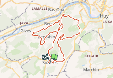

7,9 km | 10,7 km-effort


Utilisateur


Application GPS de randonnée GRATUITE
 SityTrail
IGN / Instituts géographiques
SityTrail World
Le monde est à vous
Randonnée Marche de 21 km à découvrir à Wallonie, Liège, Huy. Cette randonnée est proposée par jeangulu.
Point de départ :Ecole communale de Solières, rue Chéfaïd 13 [4500] SOLIERES.
Organisateur : Comité scolaire - Arnaud Piemme
Catre IGN : 48/2.
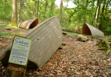
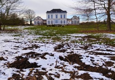
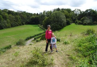
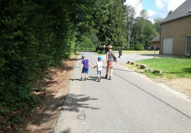
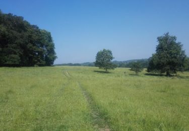
Magnifique parcours (à refaire au beau temps) - très boueux - dénivelé important - parcours fort accidenté - vues superbes

Marche

Marche
Marche
Marche
Marche

Marche
Marche