5 km | 6,3 km-effort
mtr 20220101
chantde17
Utilisateur
Longueur
12,9 km
Altitude max
231 m
Dénivelé positif
181 m
Km-Effort
15,3 km
Altitude min
127 m
Dénivelé négatif
172 m
Boucle
Oui
Date de création :
2022-01-01 07:48:50.674
Dernière modification :
2022-01-01 11:25:27.664
3h26
Difficulté : Difficile
Application GPS de randonnée GRATUITE
À propos
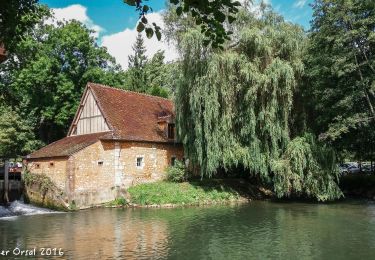
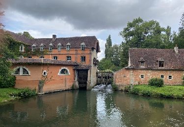
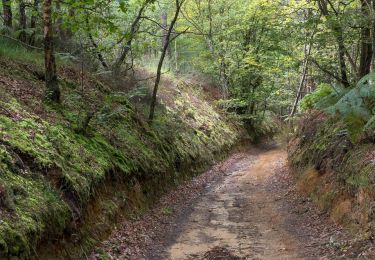
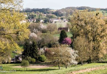
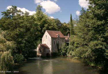
Randonnée Marche de 12,9 km à découvrir à Normandie, Orne, Saint-Germain-des-Grois. Cette randonnée est proposée par chantde17.
Localisation
Pays :
France
Région :
Normandie
Département/Province :
Orne
Commune :
Saint-Germain-des-Grois
Localité :
Unknown
Départ:(Dec)
Départ:(UTM)
340250 ; 5364224 (31U) N.
Commentaires
Randonnées à proximité
La Nymphe du Perche 5,0 Km
Marche
Moyen
(1)
Rémalard en Perche,
Normandie,
Orne,
France
1h 25min
Oui
Villeray, au Fil de l'Huisne 11.8 Km
Marche
Difficile
(1)
Sablons sur Huisne,
Normandie,
Orne,
France
12,6 km | 14,7 km-effort
3h 20min
Oui
Condé Les Sablons, vallée de l'Huisne
Marche
Difficile
Sablons sur Huisne,
Normandie,
Orne,
France
13,1 km | 15,1 km-effort
3h 25min
Oui
BRETONCELLES ET SES HAMEAUX
Marche
Moyen
Bretoncelles,
Normandie,
Orne,
France
7,6 km | 9,2 km-effort
2h 5min
Oui
Les Douves du Grand Cumont 15 Km
Marche
Difficile
(1)
Bretoncelles,
Normandie,
Orne,
France
14,8 km | 18,1 km-effort
4h 4min
Oui
Le Petit Houx du Parc 5,1 Km
Marche
Facile
Bretoncelles,
Normandie,
Orne,
France
5,1 km | 6,2 km-effort
1h 20min
Oui
La boucle des Trois Moulins 27,0 Km
Marche
Très difficile
Bretoncelles,
Normandie,
Orne,
France
27 km | 33 km-effort
7h 3min
Oui
La butte du château 15,0 Km
Marche
Difficile
Bretoncelles,
Normandie,
Orne,
France
14,9 km | 17,7 km-effort
3h 50min
Oui
Sur les ponts de la Corbionne 7,5 Km
Marche
Moyen
Bretoncelles,
Normandie,
Orne,
France
7,7 km | 9,3 km-effort
2h 4min
Oui