

Boucle d'Excideuil

CC.RIDER
Utilisateur

Longueur
11,7 km

Altitude max
226 m

Dénivelé positif
196 m

Km-Effort
14,3 km

Altitude min
140 m

Dénivelé négatif
197 m
Boucle
Oui
Date de création :
2021-12-30 20:18:08.438
Dernière modification :
2021-12-30 20:21:33.252
3h14
Difficulté : Difficile

Application GPS de randonnée GRATUITE
À propos
Randonnée Marche de 11,7 km à découvrir à Nouvelle-Aquitaine, Dordogne, Excideuil. Cette randonnée est proposée par CC.RIDER.
Description
En longeant les bords de la Loue, une jolie randonnée passant aussi aux Roches Enchantées, site d'escalade méritant le détour…
Localisation
Pays :
France
Région :
Nouvelle-Aquitaine
Département/Province :
Dordogne
Commune :
Excideuil
Localité :
Unknown
Départ:(Dec)
Départ:(UTM)
347391 ; 5022093 (31T) N.
Commentaires
Randonnées à proximité

St Raphaël variante Pontillau Qincallou10km


Marche
Facile
(1)
Saint-Raphaël,
Nouvelle-Aquitaine,
Dordogne,
France

10,2 km | 14 km-effort
2h 59min
Oui

St Germain des Près Aviateurs 10km


Marche
Facile
(3)
Saint-Germain-des-Prés,
Nouvelle-Aquitaine,
Dordogne,
France

9,5 km | 11,9 km-effort
2h 37min
Oui
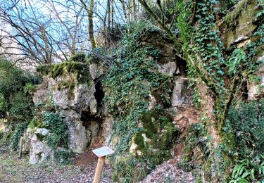
boucle spéciale Excideuil


Marche
Moyen
Excideuil,
Nouvelle-Aquitaine,
Dordogne,
France

9,3 km | 11,5 km-effort
2h 38min
Oui
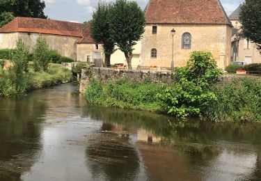
Boucle de la Berlandie ( Coulaures)


Marche
Facile
Coulaures,
Nouvelle-Aquitaine,
Dordogne,
France

9,7 km | 12 km-effort
3h 14min
Oui
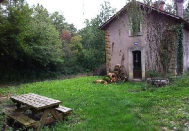
St Germain des prés


Marche
Facile
(1)
Saint-Germain-des-Prés,
Nouvelle-Aquitaine,
Dordogne,
France

14,4 km | 18,4 km-effort
3h 58min
Non
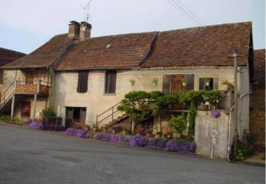
Boucle du tacot à Preyssac d'Excideuil


V.T.T.
Facile
Preyssac-d'Excideuil,
Nouvelle-Aquitaine,
Dordogne,
France

7,9 km | 9,6 km-effort
1h 0min
Oui
Boucle du tacot à Preyssac d'Excideuil


Marche
Facile
Preyssac-d'Excideuil,
Nouvelle-Aquitaine,
Dordogne,
France

7,9 km | 9,6 km-effort
2h 0min
Oui
Sentier Karstique les Roches Enchantées - Excideuil


Marche
Moyen
(2)
Excideuil,
Nouvelle-Aquitaine,
Dordogne,
France

9,4 km | 11,2 km-effort
2h 45min
Oui

St Germain des Prés Boucle des aviateurs


Marche
Facile
Saint-Germain-des-Prés,
Nouvelle-Aquitaine,
Dordogne,
France

10,3 km | 12,6 km-effort
2h 43min
Oui


 SityTrail


