


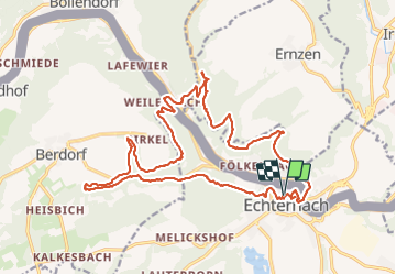

11,7 km | 15 km-effort

Utilisateur


Application GPS de randonnée GRATUITE
 SityTrail
IGN / Instituts géographiques
SityTrail World
Le monde est à vous
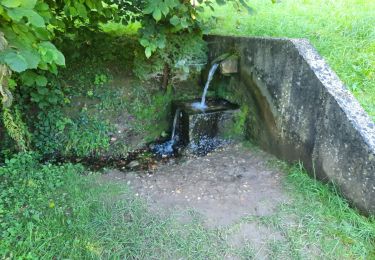
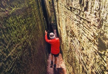
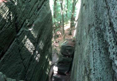
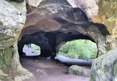
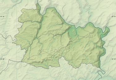
Randonnée Marche de 22 km à découvrir à Inconnu, Canton Echternach, Echternach. Cette randonnée est proposée par Ko-Rando.
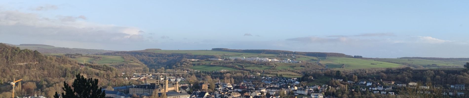
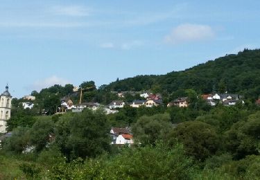
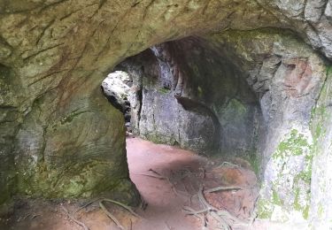
Magnifique rando ! 🌿
Elle est assez physique mais tellement belle ! 🥾
(attention, ce tracé contient quelques petites erreurs)


Marche
Marche

Marche
Marche
Marche
Marche
Marche
A pied
A pied
Tres belle Randonnee 😍😍 Difficulté moyenne