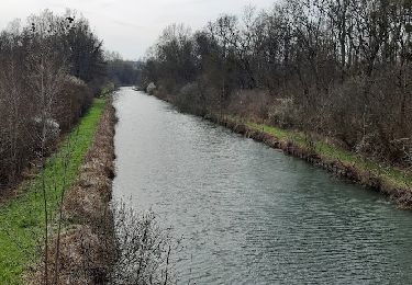
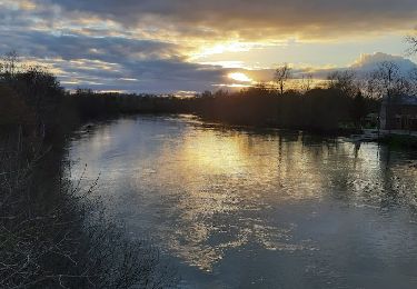
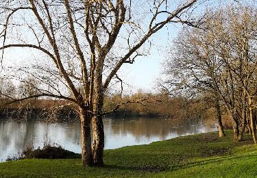
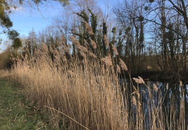
10 km | 11,4 km-effort
ENTRE SAINT-HILAIRE ET CRANCEY
jeannine grandjean
Utilisateur
Longueur
8,8 km
Altitude max
121 m
Dénivelé positif
86 m
Km-Effort
10 km
Altitude min
64 m
Dénivelé négatif
92 m
Boucle
Oui
Date de création :
2021-12-23 12:31:21.675
Dernière modification :
2021-12-23 12:32:53.921
2h16
Difficulté : Moyen
Application GPS de randonnée GRATUITE
À propos
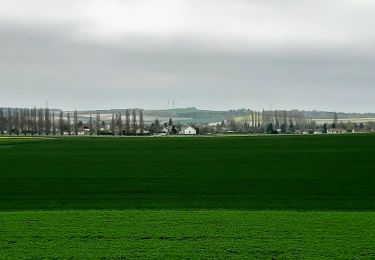
Randonnée Marche de 8,8 km à découvrir à Grand Est, Aube, Saint-Hilaire-sous-Romilly. Cette randonnée est proposée par jeannine grandjean.
Localisation
Pays :
France
Région :
Grand Est
Département/Province :
Aube
Commune :
Saint-Hilaire-sous-Romilly
Localité :
Unknown
Départ:(Dec)
Départ:(UTM)
548294 ; 5373848 (31U) N.
Commentaires
Randonnées à proximité
GÉLANNES, le village et les champs de céréales
Marche
Moyen
(1)
Gélannes,
Grand Est,
Aube,
France
2h 34min
Oui
Entre CRANCEY et PONT SUR SEINE
Marche
Moyen
Crancey,
Grand Est,
Aube,
France
10,2 km | 11,5 km-effort
2h 25min
Oui
entre Pont sur SEINE et MARNAY
Marche
Difficile
(1)
Pont-sur-Seine,
Grand Est,
Aube,
France
13,1 km | 13,8 km-effort
2h 43min
Oui
ENTRE CONFLANS SUR SEINE ET MARCILLY SUR SEINE
Marche
Moyen
Conflans-sur-Seine,
Grand Est,
Marne,
France
10,7 km | 11,7 km-effort
2h 39min
Oui
au départ de CONFLANS sur SEINE
Marche
Facile
Conflans-sur-Seine,
Grand Est,
Marne,
France
15,7 km | 17,5 km-effort
3h 17min
Non
tournée esclavolles-lurey
Marche
Facile
Esclavolles-Lurey,
Grand Est,
Marne,
France
3,8 km | 3,9 km-effort
50min
Oui
esclavolles-lurey, Périgny
Marche
Facile
Esclavolles-Lurey,
Grand Est,
Marne,
France
9,8 km | 11 km-effort
1h 58min
Oui
De Pont sur Seine à Marnay
Marche
Facile
(1)
Pont-sur-Seine,
Grand Est,
Aube,
France
13,4 km | 14,1 km-effort
2h 38min
Oui
Esclavolles Esclavolles via éoliennes et Potangis
Marche
Moyen
Esclavolles-Lurey,
Grand Est,
Marne,
France
10,1 km | 11,9 km-effort
2h 36min
Oui