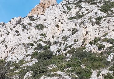
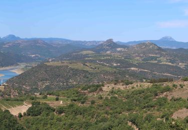
Randonnée Marche Latour-de-France - Latour de France 08/12/2021 - Photo
 andre66
andre66

Utilisateur

© OpenStreetMap contributors
Longueur
Longueur
12,4 km
Altitude max
Altitude max
332 m
Dénivelé positif
Dénivelé positif
282 m
Km-Effort
Km-Effort  
16,2 km
Altitude min
Altitude min
101 m
Dénivelé négatif
Dénivelé négatif
277 m
Boucle
Boucle
Oui
Date de création :
2021-12-08 08:45:13.0
Dernière modification :
2021-12-08 13:33:17.012

(0 Avis)

Marche
Marche
3h12
Difficulté : Moyen

Scannez ce code QR pour ouvrir la randonnée dans l'application SityTrail

Application GPS de randonnée GRATUITE

Logo SityTrail SityTrail

IGN / Instituts géographiques

Télécharger SityTrail sur l'App Store Télécharger SityTrail sur Google Play

Logo SityTrail SityTrail World

Le monde est à vous

Télécharger SityTrail sur l'App Store Télécharger SityTrail sur Google Play Télécharger SityTrail sur Huawei AppGallery

À propos

Randonnée Marche de 12,4 km à découvrir à Occitanie, Pyrénées-Orientales, Latour-de-France. Cette randonnée est proposée par andre66.

Description

COUXUS CHÂTEAU
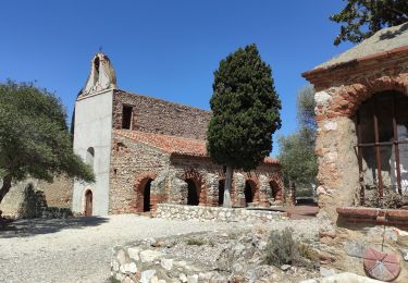
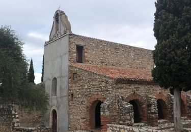
CHAPPELLE SAINT MARTIN

Profil altimétrique

Photos

Localisation

Pays :
France
Région :
Occitanie
Département/Province :
Pyrénées-Orientales
Commune :
Latour-de-France
Localité :
Unknown
Départ:(Dec)
Départ:(UTM)
471446 ; 4735007 (31T) N.

Randonnées à proximité

Randonnée Marche Maury - Le dernier bastion cathare  - Photo
Marche
suresnois

Marche

Difficile
(1)
Maury, Occitanie, Pyrénées-Orientales, France
12,6 km | 17 km-effort
3h 56min
Oui
Randonnée Marche Cassagnes - pic d'abeille - Photo
Marche
randovivi

Marche

Très facile
(2)
Cassagnes, Occitanie, Pyrénées-Orientales, France
8,1 km | 10,8 km-effort
3h 0min
Oui
Randonnée Marche Montner - Montner Força Réal et château de Caladroy - Photo
Marche
francineposkin

Marche

Difficile
Montner, Occitanie, Pyrénées-Orientales, France
18,4 km | 26 km-effort
5h 43min
Oui
Randonnée Marche Estagel - ESTAGEL Chapelle St Laurent MARDI FAIT - Photo
Marche
MarcOBRECHT

Marche

Moyen
Estagel, Occitanie, Pyrénées-Orientales, France
12,2 km | 16,9 km-effort
3h 26min
Oui
Randonnée Marche Cassagnes - F66 Cassagnes pic Aubeill - Photo
Marche
ageo

Marche

Facile
Cassagnes, Occitanie, Pyrénées-Orientales, France
6,3 km | 8,4 km-effort
2h 20min
Non
Randonnée Marche Estagel - 20201216 Estagel - Calce  - Photo
Marche
ThonyM

Marche

Moyen
Estagel, Occitanie, Pyrénées-Orientales, France
15,8 km | 22 km-effort
3h 36min
Oui
Randonnée Marche Latour-de-France - 66 LATOUR-DE-FRANCE, visite du village, massif de Tourèze et vallée de l'Agly - Photo
Marche
Phidel66

Marche

Moyen
Latour-de-France, Occitanie, Pyrénées-Orientales, France
8,3 km | 11 km-effort
1h 47min
Oui
Randonnée Marche Tautavel - mas amiel - Photo
Marche
Fildesir

Marche

Très facile
Tautavel, Occitanie, Pyrénées-Orientales, France
19 km | 24 km-effort
6h 15min
Oui
Randonnée Marche Planèzes - PLANÈZES (10/10/2017) - Photo
Marche
Richard68500

Marche

Facile
Planèzes, Occitanie, Pyrénées-Orientales, France
9,9 km | 13,6 km-effort
3h 0min
Oui


Fermer
Mes abonnements