


9,3 km | 18,5 km-effort


Utilisateur


Application GPS de randonnée GRATUITE
 SityTrail
IGN / Instituts géographiques
SityTrail World
Le monde est à vous
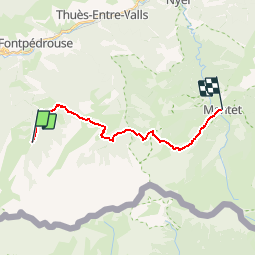
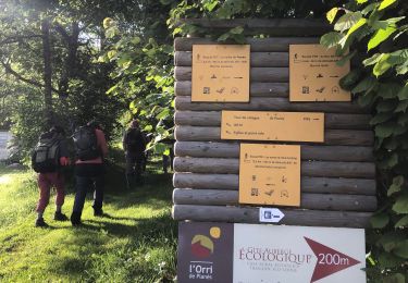
Randonnée Marche de 17,1 km à découvrir à Occitanie, Pyrénées-Orientales, Fontpédrouse. Cette randonnée est proposée par loic09.
Refuge de l'Orry/Mantet

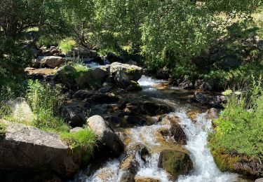
Marche

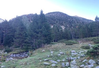
Marche
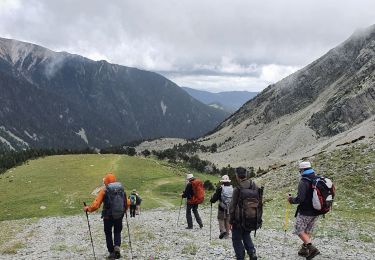
Marche

Marche
Marche
Marche
Marche
Marche

Marche