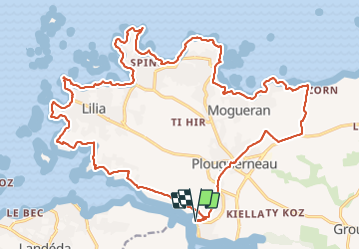

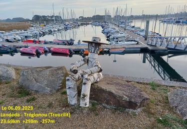
9,7 km | 10,8 km-effort


Utilisateur


Application GPS de randonnée GRATUITE
 SityTrail
IGN / Instituts géographiques
SityTrail World
Le monde est à vous
Randonnée Marche de 27 km à découvrir à Bretagne, Finistère, Plouguerneau. Cette randonnée est proposée par zefreefly.
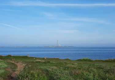
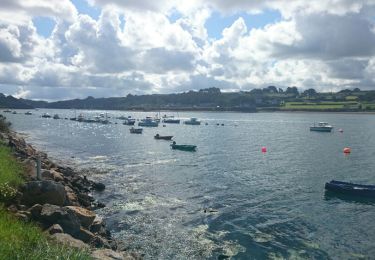
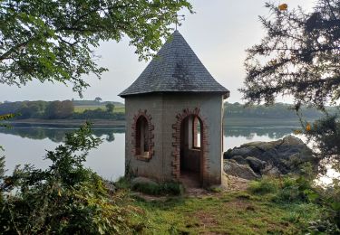
Comme une crêpe, l’aber wrac’h vaut le détour.
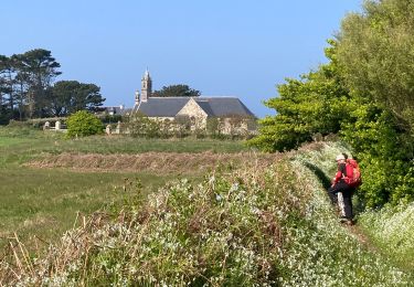
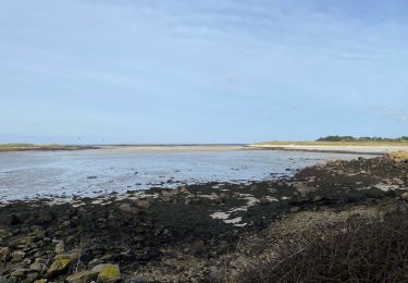
Parcours qui suit le GR 34 sur l’aber Wrac’h Nord et coupe par Plouguerneau pour faire une boucle.
Randonnée facile techniquement


Marche
Marche
Marche
Marche
Cyclotourisme

Marche
Marche
Marche