

entre Montferrier et Clapiers

34christophe
Utilisateur

Longueur
6 km

Altitude max
124 m

Dénivelé positif
103 m

Km-Effort
7,4 km

Altitude min
56 m

Dénivelé négatif
105 m
Boucle
Non
Date de création :
2021-12-01 13:02:09.355
Dernière modification :
2022-03-03 10:07:28.171
1h50
Difficulté : Moyen

Application GPS de randonnée GRATUITE
À propos
Randonnée Marche de 6 km à découvrir à Occitanie, Hérault, Montferrier-sur-Lez. Cette randonnée est proposée par 34christophe.
Description
Rando agréable, alternant les DFCI et les sentiers monotraces.
Très bien balisée en ORANGE.
Une belle vue sur la fin.
Localisation
Pays :
France
Région :
Occitanie
Département/Province :
Hérault
Commune :
Montferrier-sur-Lez
Localité :
Unknown
Départ:(Dec)
Départ:(UTM)
570220 ; 4836292 (31T) N.
Commentaires
Randonnées à proximité

monftferrier et autour d'Assas chemins non boueux19.4k 301m


V.T.T.
Facile
(1)
Montferrier-sur-Lez,
Occitanie,
Hérault,
France

19,4 km | 23 km-effort
1h 10min
Oui
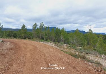
St Clément de Rivière


Marche
Moyen
Saint-Clément-de-Rivière,
Occitanie,
Hérault,
France

9 km | 11 km-effort
2h 2min
Oui
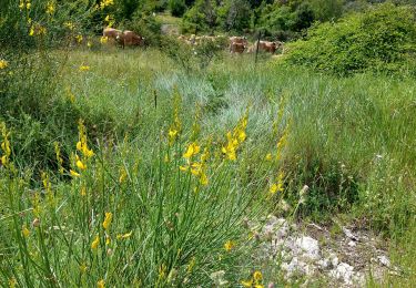
convalescence


Marche
Moyen
Saint-Clément-de-Rivière,
Occitanie,
Hérault,
France

8,2 km | 9,6 km-effort
2h 15min
Oui
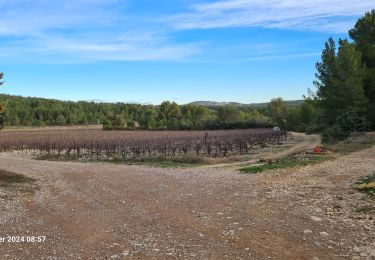
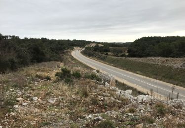
Assas circuit court


Marche
Facile
Assas,
Occitanie,
Hérault,
France

8,6 km | 10,5 km-effort
3h 5min
Oui
château Restinclieres


Autre activité
Très facile
Prades-le-Lez,
Occitanie,
Hérault,
France

8,4 km | 9,7 km-effort
4h 47min
Oui
le Cres Lac et Salaison


Marche
Facile
Le Crès,
Occitanie,
Hérault,
France

10,4 km | 11,7 km-effort
2h 31min
Oui

prades le lez


Marche nordique
Moyen
(1)
Montferrier-sur-Lez,
Occitanie,
Hérault,
France

9,4 km | 11,4 km-effort
1h 28min
Oui


 SityTrail


