


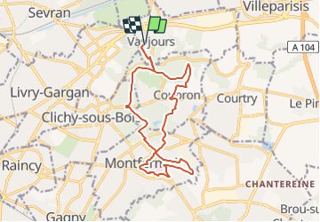

10,3 km | 11,9 km-effort


Club randonnées SERVON


Application GPS de randonnée GRATUITE
 SityTrail
IGN / Instituts géographiques
SityTrail World
Le monde est à vous
Randonnée Marche de 15,2 km à découvrir à Île-de-France, Seine-Saint-Denis, Vaujours. Cette randonnée est proposée par Les 1000 pattes.
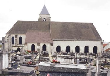
Parking Chemin Rural 18 à Vaujours (près du cimetière)
Trajet Servon-->Parking (39km: 33mn)

Marche
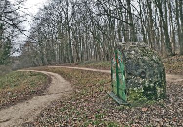
Marche

Marche
Marche
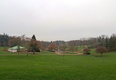
Marche
Marche

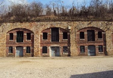
Autre activité
Marche
Marche