


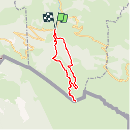


12,3 km | 19,6 km-effort


Utilisateur


Application GPS de randonnée GRATUITE
 SityTrail
IGN / Instituts géographiques
SityTrail World
Le monde est à vous
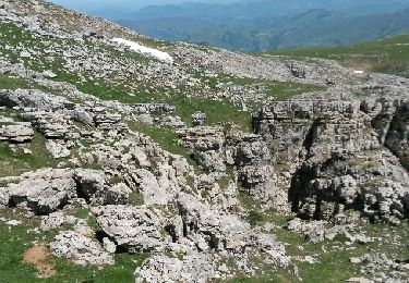
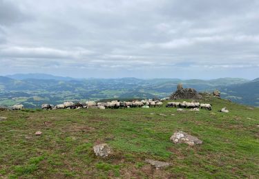
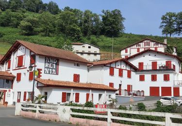
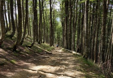
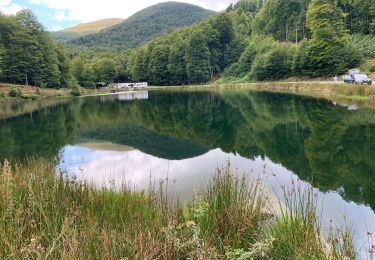
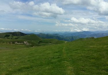
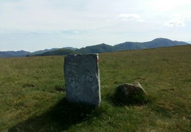
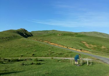
Randonnée Marche de 12,1 km à découvrir à Nouvelle-Aquitaine, Pyrénées-Atlantiques, Estérençuby. Cette randonnée est proposée par PVERTICAL.
Depuis Béhérobie - ATTENTION : retour par sente exposée et plus de sentier dans le bois d'Aguerre, privilégier le retour par même sentier que l'aller -
Marche

Marche

sport
Marche
Marche
Marche
Marche
Marche
Marche