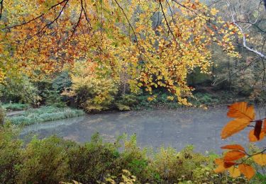
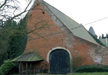
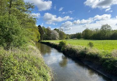
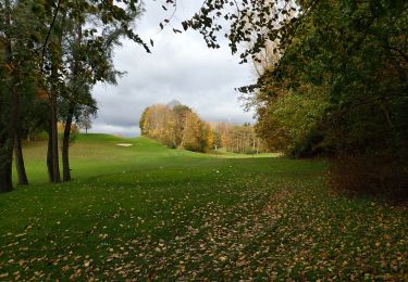
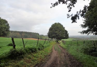
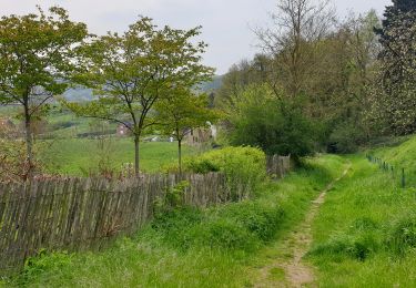
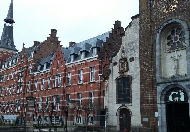
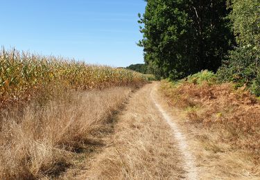
Randonnée A pied Overijse - Tombeek  - Photo
 emileverschueren
emileverschueren

Utilisateur

© OpenStreetMap contributors
Longueur
Longueur
6,4 km
Altitude max
Altitude max
94 m
Dénivelé positif
Dénivelé positif
104 m
Km-Effort
Km-Effort  
7,8 km
Altitude min
Altitude min
41 m
Dénivelé négatif
Dénivelé négatif
104 m
Boucle
Boucle
Oui
Date de création :
2021-11-22 13:54:34.0
Dernière modification :
2021-12-15 11:58:22.665

(0 Avis)

A pied
A pied
1h46
Difficulté : Facile
Marche
Marche
1h30
Difficulté : Moyen

Scannez ce code QR pour ouvrir la randonnée dans l'application SityTrail

Application GPS de randonnée GRATUITE

Logo SityTrail SityTrail

IGN / Instituts géographiques

Télécharger SityTrail sur l'App Store Télécharger SityTrail sur Google Play

Logo SityTrail SityTrail World

Le monde est à vous

Télécharger SityTrail sur l'App Store Télécharger SityTrail sur Google Play Télécharger SityTrail sur Huawei AppGallery

À propos

Randonnée A pied de 6,4 km à découvrir à Flandre, Brabant flamand, Overijse. Cette randonnée est proposée par emileverschueren.

Profil altimétrique

Photos

Localisation

Pays :
Belgique
Région :
Flandre
Département/Province :
Brabant flamand
Commune :
Overijse
Localité :
Unknown
Départ:(Dec)
Départ:(UTM)
610581 ; 5624097 (31U) N.

Randonnées à proximité

Randonnée Marche Rixensart - Balade de Rixensart au lac de Genval - Photo
Marche
GUIDE
Desrumaux

Marche

Facile
(2)
Rixensart, Wallonie, Brabant wallon, Belgique
10,8 km | 13,3 km-effort
2h 52min
Oui
Randonnée Marche Wavre - RB-Bw-07 - Basse-Wavre - Via variantes 1 et 2 - Photo
Marche
PRO

Marche

Moyen
(4)
Wavre, Wallonie, Brabant wallon, Belgique
27 km | 34 km-effort
7h 5min
Oui
Randonnée Marche Overijse - #230220 - Terlanen, Schaatbroekbos, GR579**** - Photo
Marche
Randos Ouvertes

Marche

Moyen
(1)
Overijse, Flandre, Brabant flamand, Belgique
7,2 km | 8,4 km-effort
1h 55min
Oui
Randonnée Marche Wavre - #201030 - Wavre, Bois de Beumont, Golf de la Bawette, Parc des Saules et Orangerie - Photo
Marche
Randos Ouvertes

Marche

Moyen
(2)
Wavre, Wallonie, Brabant wallon, Belgique
7,7 km | 9,4 km-effort
1h 57min
Oui
Randonnée Marche Huldenberg - #201012 - Ottenburg, Grote-Greube et Rodebos**** - Photo
Marche
Randos Ouvertes

Marche

Moyen
(1)
Huldenberg, Flandre, Brabant flamand, Belgique
8,1 km | 10,3 km-effort
2h 13min
Oui
Randonnée Marche Huldenberg - Terlanen - Up and Down - Photo
Marche
GaetanHouart

Marche

Moyen
(2)
Huldenberg, Flandre, Brabant flamand, Belgique
8,4 km | 10,7 km-effort
2h 25min
Oui
Randonnée Marche Wavre - Basse Wavre Hiver 03 01 2017 Nathalie Demain - Photo
Marche
ThierryGABRIEL

Marche

Facile
(1)
Wavre, Wallonie, Brabant wallon, Belgique
13,5 km | 16 km-effort
6h 41min
Oui
Randonnée Marche Huldenberg - #190426 - Merveilleux parcours au départ de Sint-Agatha-Rode**** - Photo
Marche
Randos Ouvertes

Marche

Moyen
(1)
Huldenberg, Flandre, Brabant flamand, Belgique
6,1 km | 7,5 km-effort
1h 41min
Oui
Randonnée Marche Huldenberg - Wolfsbos - Photo
Marche
GaetanHouart

Marche

Moyen
(1)
Huldenberg, Flandre, Brabant flamand, Belgique
6,3 km | 7,7 km-effort
1h 45min
Oui


Fermer
Mes abonnements