


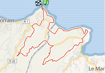

9,1 km | 13,9 km-effort

Utilisateur GUIDE


Application GPS de randonnée GRATUITE
 SityTrail
IGN / Instituts géographiques
SityTrail World
Le monde est à vous
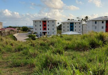
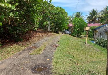
Randonnée Marche de 10,2 km à découvrir à Martinique, Inconnu, Le Lorrain. Cette randonnée est proposée par Lamartiniere.
Cette randonnée de 10 kms entre Le Lorrain et Le Marigot, en grande partie sur des terrains agricoles nécessite des autorisations de passages si possible avec assaurance en règle, notamment sur l' habitation Duhaumont au Marigot. Retour par le SLNA.


Marche
Marche

Marche

Marche
Marche

Marche
Marche
Marche
Marche