


12,9 km | 15,8 km-effort

Utilisateur GUIDE


Application GPS de randonnée GRATUITE
 SityTrail
IGN / Instituts géographiques
SityTrail World
Le monde est à vous
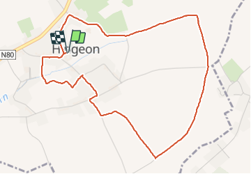
Randonnée Marche de 5,2 km à découvrir à Wallonie, Namur, Fernelmont. Cette randonnée est proposée par pierreh01.
Mardi 16 novembre 2021
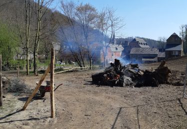
Après avoir passé la journée du 15 novembre 2021 à DINANT, pour participer aux festivités organisées par l'AERSO, et une bonne nuit à l'hôtel, nous nous sommes arrêtés à HINGEON au retour.
Nous y avons effectué la chasse proposée par TOTEMUS à la découverte de HINGEON et ses environs immédiats.
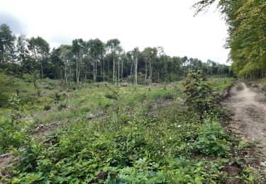
Avec la météo du jour, grise et plafond bas avec humidité importante, nous avons sillonné des rues et des sentiers campagnards bien mouillés, boueux et même parfois très boueux.
Nous avions suivi les conseils de TOTEMUS et avions chaussé nos bonnes chaussures de marche.


28 photos au total. Cliquez sur une photo pour les afficher toutes dans la galerie.

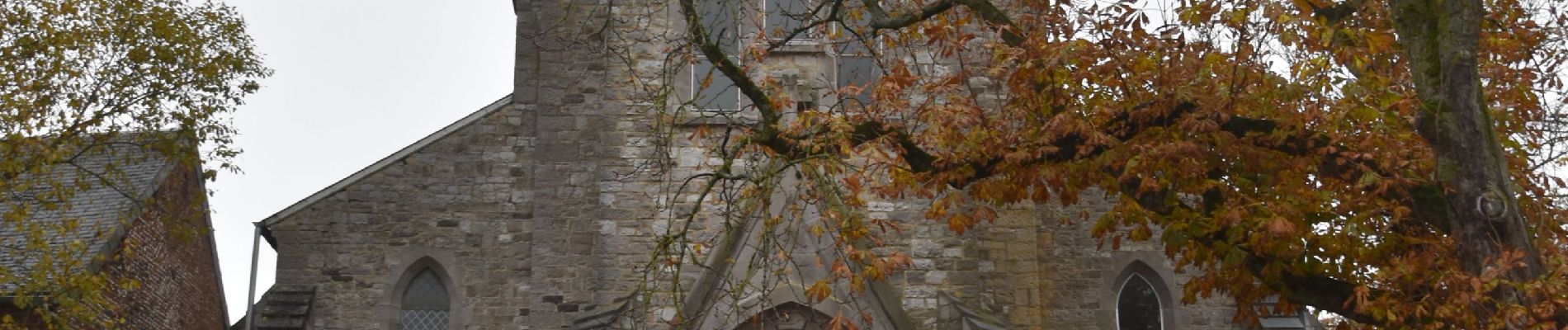
Marche
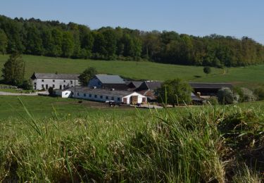
Marche

Marche

Marche

Marche
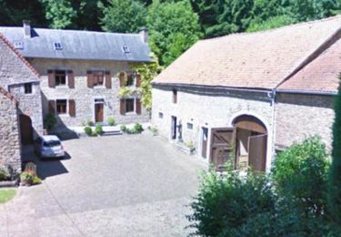
Marche
Marche
Marche

Cheval