


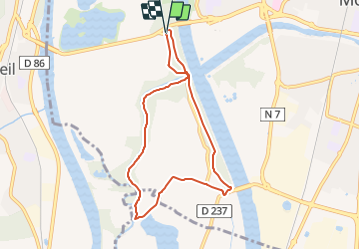

9,3 km | 10,1 km-effort


Utilisateur GUIDE


Application GPS de randonnée GRATUITE
 SityTrail
IGN / Instituts géographiques
SityTrail World
Le monde est à vous
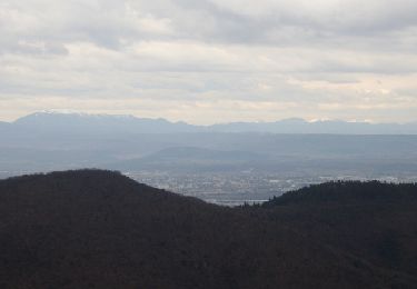
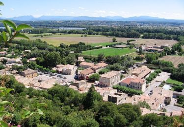
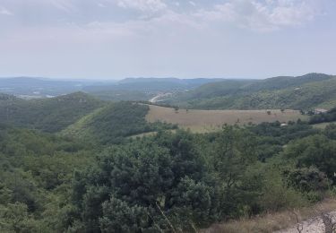
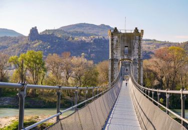
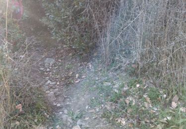
Randonnée Marche de 7,5 km à découvrir à Auvergne-Rhône-Alpes, Drôme, Montélimar. Cette randonnée est proposée par thonyc.
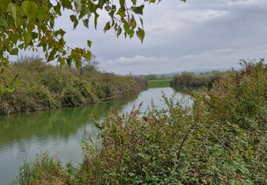
Au fil de l'eau, laissez vous guider, du Roubion à la ViaRhôna : une halte pique-nique s'impose sur les berges ombragées !
Marche
Marche
Marche
Marche
Marche

Marche
Marche

Marche nordique
Marche