


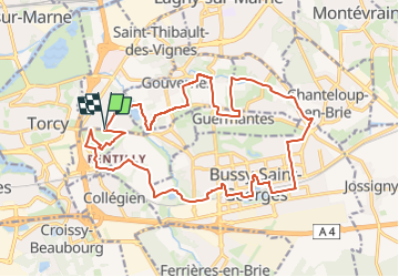


16,8 km | 18,1 km-effort

Club randonnées SERVON


Application GPS de randonnée GRATUITE
 SityTrail
IGN / Instituts géographiques
SityTrail World
Le monde est à vous
Randonnée Marche de 21 km à découvrir à Île-de-France, Seine-et-Marne, Saint-Thibault-des-Vignes. Cette randonnée est proposée par Les 1000 pattes.
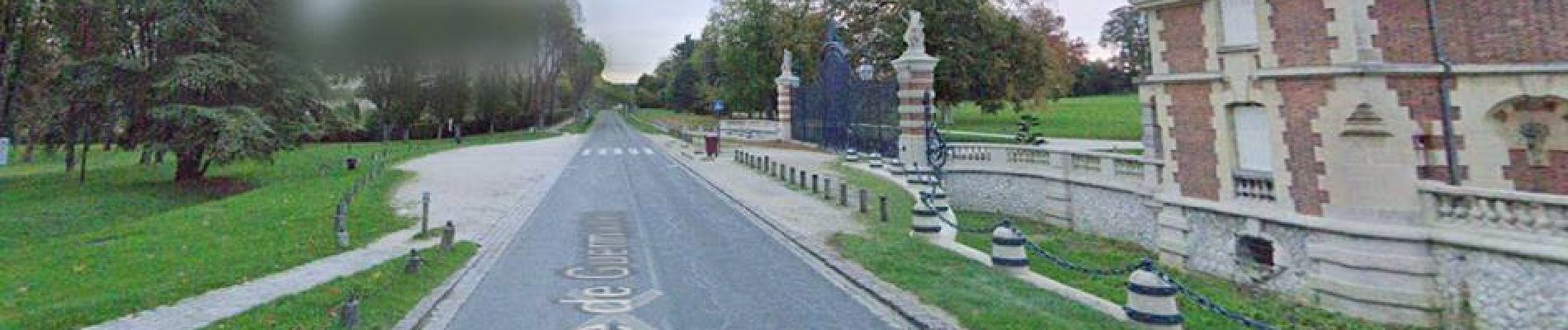
Parking Rue de Guermantes à St Thibault des Vignes sur la
D 217B - Parking du Parc
Trajet Servon-->Parking (22km: 19mn)


Marche

Marche

Marche
Marche

Marche

Marche
Marche
Marche
Marche