


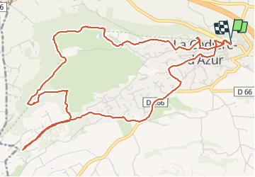

14,8 km | 19,6 km-effort

Utilisateur


Application GPS de randonnée GRATUITE
 SityTrail
IGN / Instituts géographiques
SityTrail World
Le monde est à vous
Randonnée Marche de 7,9 km à découvrir à Provence-Alpes-Côte d'Azur, Var, La Cadière-d'Azur. Cette randonnée est proposée par Christiancordin.
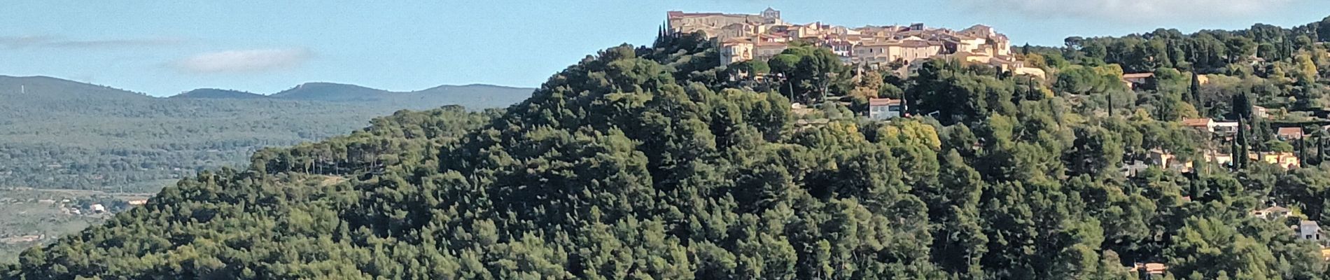
Pk en bas du village-table d'orientation-Chapelle Ste Croix-panorama Ste Baume et baie de la Ciotat-monument de la paix.


Marche

Marche

Marche

Marche nordique
Marche nordique

Marche

Marche

Marche

Marche