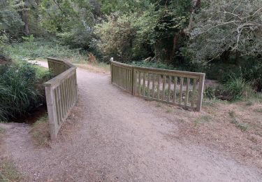
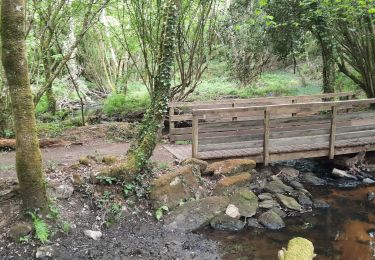
10 km | 11,8 km-effort
kerostin
honoré
Utilisateur
Longueur
4 km
Altitude max
52 m
Dénivelé positif
33 m
Km-Effort
4,5 km
Altitude min
33 m
Dénivelé négatif
33 m
Boucle
Oui
Date de création :
2021-10-30 07:43:30.106
Dernière modification :
2021-10-30 10:14:31.356
2h30
Difficulté : Facile
Application GPS de randonnée GRATUITE
À propos
Randonnée Marche de 4 km à découvrir à Bretagne, Morbihan, Plescop. Cette randonnée est proposée par honoré.
Localisation
Pays :
France
Région :
Bretagne
Département/Province :
Morbihan
Commune :
Plescop
Localité :
Unknown
Départ:(Dec)
Départ:(UTM)
510831 ; 5283801 (30T) N.
Commentaires
Randonnées à proximité
PR_56_Plougoumelen_CA_03_Circuit4a_Du-Boterff_20231011
Marche
Facile
Plougoumelen,
Bretagne,
Morbihan,
France
2h 40min
Oui
PR_56_Pluneret_DA_05_Circuit3b_La-Vallee-Du-Leran_20230917
Marche
Très facile
Pluneret,
Bretagne,
Morbihan,
France
9,8 km | 10,8 km-effort
2h 27min
Oui
PR_56_Plumergat_AA_01_Circuit1b_Les-Trois-Clochers_20221022
Marche
Très facile
Plumergat,
Bretagne,
Morbihan,
France
8,6 km | 9,6 km-effort
1h 54min
Oui
PR_56_Plescop_AA_01_Circuit4a_Tour-Du-Bourg_20220731
Marche
Moyen
Plescop,
Bretagne,
Morbihan,
France
7,1 km | 7,9 km-effort
1h 32min
Oui
PR_56_Pluneret_BA_02_Circuit1b_Vallon-Du-Leran_20220504
Marche
Très facile
Pluneret,
Bretagne,
Morbihan,
France
5 km | 5,5 km-effort
1h 7min
Oui
grand champ Burgo
Marche
Moyen
Grand-Champ,
Bretagne,
Morbihan,
France
7 km | 8,4 km-effort
2h 3min
Non
Mn le samedi Ffe
Marche
Moyen
Plougoumelen,
Bretagne,
Morbihan,
France
6,9 km | 8,2 km-effort
2h 15min
Oui
Les deux rives du Sal
Marche
Difficile
(1)
Plougoumelen,
Bretagne,
Morbihan,
France
21 km | 24 km-effort
3h 45min
Oui