


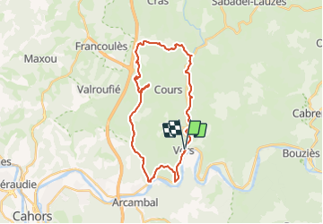

14,1 km | 19,8 km-effort


Utilisateur


Application GPS de randonnée GRATUITE
 SityTrail
IGN / Instituts géographiques
SityTrail World
Le monde est à vous
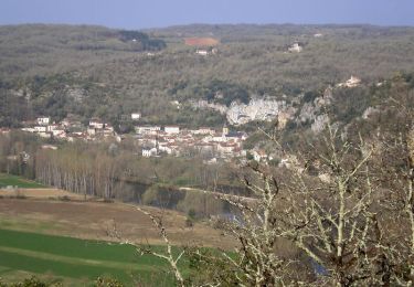
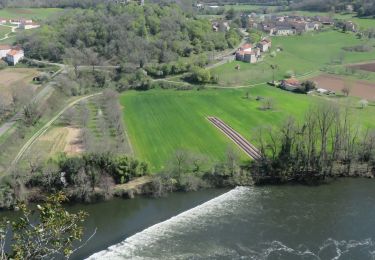
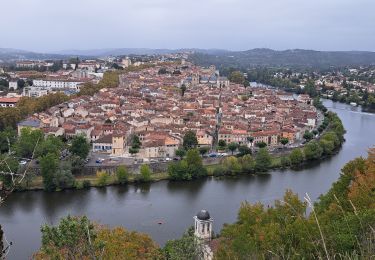
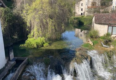
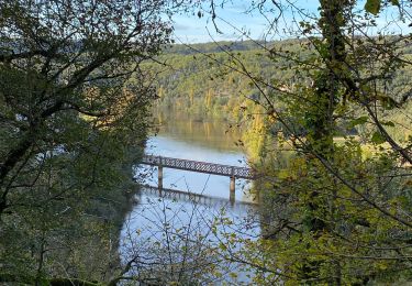
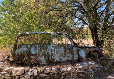
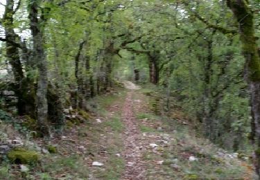
Randonnée V.T.T. de 29 km à découvrir à Occitanie, Lot, Saint-Géry-Vers. Cette randonnée est proposée par sebcar.
Au départ de la vallée du Lot, ce parcours sportif ne présente pas de grosse difficulté technique. Les traversées des routes départementales demandent une attention particulière, mais la vallée de la Rauze et les chemins entre les buis resteront dans les mémoires !
Marche
Marche
Marche
Marche
Marche

Marche
Vélo électrique

Marche
Marche