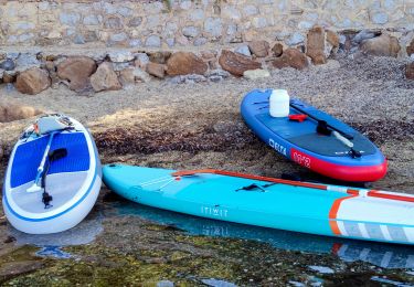
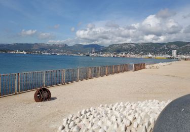
88 km | 101 km-effort
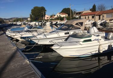
port hyeres borrels
Matamimi
Utilisateur
Longueur
34 km
Altitude max
107 m
Dénivelé positif
311 m
Km-Effort
38 km
Altitude min
-1 m
Dénivelé négatif
311 m
Boucle
Non
Date de création :
2021-10-28 09:42:56.62
Dernière modification :
2021-10-28 13:39:42.627
3h10
Difficulté : Moyen
Application GPS de randonnée GRATUITE
À propos
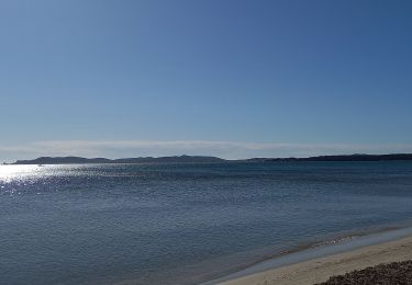
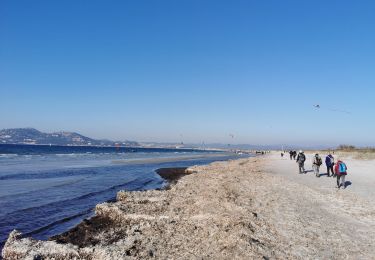
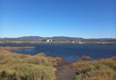
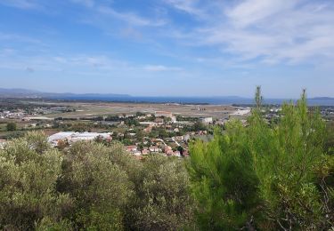
Randonnée V.T.C. de 34 km à découvrir à Provence-Alpes-Côte d'Azur, Var, Hyères. Cette randonnée est proposée par Matamimi.
Localisation
Pays :
France
Région :
Provence-Alpes-Côte d'Azur
Département/Province :
Var
Commune :
Hyères
Localité :
Unknown
Départ:(Dec)
Départ:(UTM)
268835 ; 4774699 (32T) N.
Commentaires
Randonnées à proximité
La Capte Tour fondue
Marche
Facile
Hyères,
Provence-Alpes-Côte d'Azur,
Var,
France
14,6 km | 17,2 km-effort
4h 50min
Oui
Giens - Port Auguier - Chemin côtier
Marche
Facile
Hyères,
Provence-Alpes-Côte d'Azur,
Var,
France
8,6 km | 10,7 km-effort
6h 41min
Oui
Ayguade plage port
Marche
Facile
Hyères,
Provence-Alpes-Côte d'Azur,
Var,
France
13,4 km | 14,7 km-effort
2h 32min
Oui
Plage du Pentagone 17-9-22
Marche
Très facile
Hyères,
Provence-Alpes-Côte d'Azur,
Var,
France
8,4 km | 9 km-effort
2h 20min
Oui
Sortie paddle plage de l'Almanarre
Canoë - kayak
Facile
Hyères,
Provence-Alpes-Côte d'Azur,
Var,
France
7,4 km | 7,6 km-effort
2h 30min
Oui
hyeres les maurettes
Marche
Facile
Hyères,
Provence-Alpes-Côte d'Azur,
Var,
France
7,7 km | 10 km-effort
2h 36min
Non
Hyères J2 P5
Vélo de route
Difficile
Hyères,
Provence-Alpes-Côte d'Azur,
Var,
France
69 km | 84 km-effort
4h 30min
Oui
Le tour des étangs de Pesquier
Marche
Facile
Hyères,
Provence-Alpes-Côte d'Azur,
Var,
France
12,5 km | 13,3 km-effort
2h 41min
Oui