


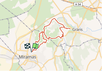

14,4 km | 18 km-effort

Utilisateur


Application GPS de randonnée GRATUITE
 SityTrail
IGN / Instituts géographiques
SityTrail World
Le monde est à vous
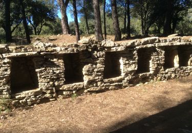
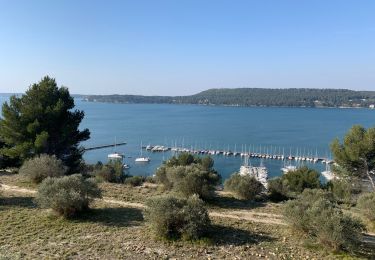
Randonnée Marche de 17,1 km à découvrir à Provence-Alpes-Côte d'Azur, Bouches-du-Rhône, Miramas. Cette randonnée est proposée par Manoune.
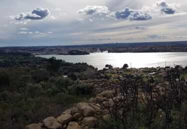
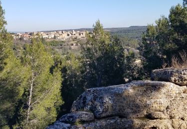
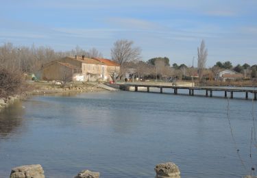
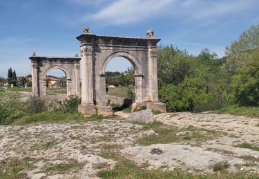
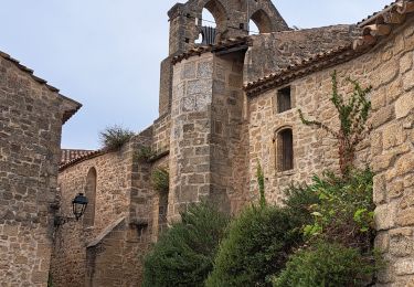
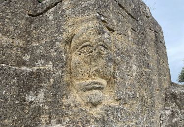
Départ parking du Théâtre de la Colonne, lac de Suspi, pique nique Domaine de Petite avec autorisation, Pont de Fumet, St Charles, les Crottes, Table d'orientation, parking.( petite erreur sur le trajet ) 500 m environ après Pont de Fumet.


Marche
Marche
Marche

V.T.T.
Marche
Marche
Marche
Marche
Marche