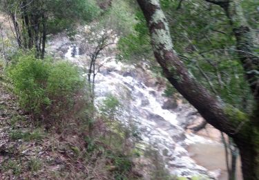
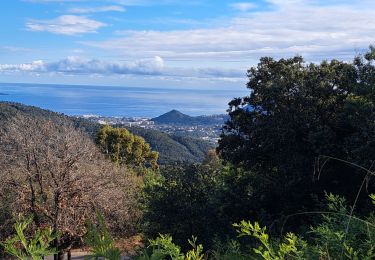
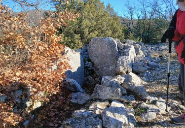
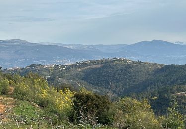
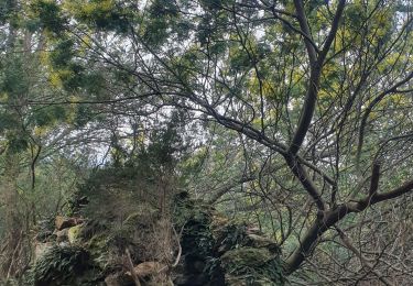
Randonnée A pied Tanneron - La chapelle de St Cassien des bois, le pont détruit et au fil de l'eau - Photo

La chapelle de St Cassien des bois, le pont détruit et au fil de l'eau

 boulinevelyne
boulinevelyne

Utilisateur

© OpenStreetMap contributors
Longueur
Longueur
7,3 km
Altitude max
Altitude max
252 m
Dénivelé positif
Dénivelé positif
222 m
Km-Effort
Km-Effort  
10,3 km
Altitude min
Altitude min
65 m
Dénivelé négatif
Dénivelé négatif
229 m
Boucle
Boucle
Oui
Date de création :
2021-10-18 07:15:50.627
Dernière modification :
2023-06-30 17:29:23.352

(5 Avis)

A pied
A pied
2h19
Difficulté : Facile
Marche
Marche
3h05
Difficulté : Moyen

Scannez ce code QR pour ouvrir la randonnée dans l'application SityTrail

Application GPS de randonnée GRATUITE

Logo SityTrail SityTrail

IGN / Instituts géographiques

Télécharger SityTrail sur l'App Store Télécharger SityTrail sur Google Play

Logo SityTrail SityTrail World

Le monde est à vous

Télécharger SityTrail sur l'App Store Télécharger SityTrail sur Google Play Télécharger SityTrail sur Huawei AppGallery

À propos

Randonnée A pied de 7,3 km à découvrir à Provence-Alpes-Côte d'Azur, Var, Tanneron. Cette randonnée est proposée par boulinevelyne.

Description

rando facile et tres belle

Profil altimétrique

Photos

21 photos au total. Cliquez sur une photo pour les afficher toutes dans la galerie.

Localisation

Pays :
France
Région :
Provence-Alpes-Côte d'Azur
Département/Province :
Var
Commune :
Tanneron
Localité :
Unknown
Départ:(UTM)
326052 ; 4830981 (32T) N.

Commentaires

Veuillez vous connecter pour laisser un commentaire ou une note


très belle randonnée merci du partage 😊


Randonnées à proximité

Randonnée Marche Tanneron - Tanneron les mimosas - Photo
Marche
Michel DUBOIS

Marche

Très facile
(1)
Tanneron, Provence-Alpes-Côte d'Azur, Var, France
12 km | 17,8 km-effort
3h 25min
Oui
Randonnée A pied Le Tignet - Val de Siagne - Photo
A pied
GUIDE+

A pied

Facile
Le Tignet, Provence-Alpes-Côte d'Azur, Alpes-Maritimes, France
6,5 km | 9,5 km-effort
2h 9min
Oui
Randonnée Marche Tanneron - Tanneron - petite boucle 12-02-2022 - Photo
Marche
GUIDE
fredetpascale

Marche

Facile
Tanneron, Provence-Alpes-Côte d'Azur, Var, France
7,5 km | 10,8 km-effort
2h 0min
Oui
Randonnée Marche Saint-Cézaire-sur-Siagne - Col de Cabris - Photo
Marche
jlrayon

Marche

Facile
(1)
Saint-Cézaire-sur-Siagne, Provence-Alpes-Côte d'Azur, Alpes-Maritimes, France
7,3 km | 9,7 km-effort
3h 0min
Oui
Randonnée Marche Saint-Cézaire-sur-Siagne - st cezaire siagne - Photo
Marche
pjjrevrard

Marche

Très facile
(1)
Saint-Cézaire-sur-Siagne, Provence-Alpes-Côte d'Azur, Alpes-Maritimes, France
6,9 km | 11,4 km-effort
2h 42min
Non
Randonnée sport Tanneron - Tanneron - Photo
sport
alinetpierre

sport

Très facile
Tanneron, Provence-Alpes-Côte d'Azur, Var, France
9,7 km | 13,9 km-effort
Inconnu
Oui
Randonnée Marche Tanneron - 2024-02-16 Tanneron Mimosas - Photo
Marche
GUIDE
Kargil

Marche

Moyen
Tanneron, Provence-Alpes-Côte d'Azur, Var, France
11,1 km | 17,8 km-effort
4h 2min
Oui
Randonnée V.T.T. Tanneron - autour de tanneron - Photo
V.T.T.
papamorse

V.T.T.

Très difficile
(1)
Tanneron, Provence-Alpes-Côte d'Azur, Var, France
30 km | 41 km-effort
2h 50min
Oui
Randonnée Marche Saint-Cézaire-sur-Siagne - Saint Cézaire sur Siagne - Pont des Tuves - Chapelle St Saturnin - Photo
Marche
LtZIP

Marche

Moyen
Saint-Cézaire-sur-Siagne, Provence-Alpes-Côte d'Azur, Alpes-Maritimes, France
13,6 km | 19,9 km-effort
4h 30min
Oui


Fermer
Mes abonnements