


19,2 km | 27 km-effort


Utilisateur


Application GPS de randonnée GRATUITE
 SityTrail
IGN / Instituts géographiques
SityTrail World
Le monde est à vous
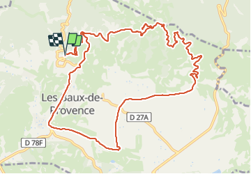
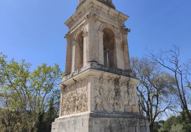
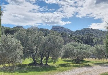
Randonnée Marche de 14,3 km à découvrir à Provence-Alpes-Côte d'Azur, Bouches-du-Rhône, Les Baux-de-Provence. Cette randonnée est proposée par pourrier.
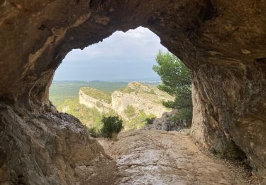
Les Baux - Le Vallon d'Enfer - Le Saint-Esprit - Sainte Berthe - La Piste des Lombards - La Tour de Guet - Baumayrane
Marche
Marche

Marche
V.T.T.
Marche

Marche
Marche
Marche
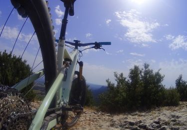
V.T.T.