![](/images/other/stat-length.png)
![Randonnée Marche Charleroi - MONTIGNIES - SUR - SAMBRE _ Marche Fédérale - Photo](https://media.geolcdn.com/t/1900/400/1a2c7b14-ec1a-463e-929a-3debbd5c23b7.jpg&format=pjpeg&maxdim=2)
MONTIGNIES - SUR - SAMBRE _ Marche Fédérale
jeangulu
Utilisateur
![Longueur](/images/other/stat-length.png)
Longueur
22 km
![Altitude max](https://static1.geolcdn.com/siteimages/upload/files/1508320355ic_sort_altitude_max_24dp.png)
Altitude max
236 m
![Dénivelé positif](https://static1.geolcdn.com/siteimages/upload/files/1508320355ic_sort_den_pos_24dp.png)
Dénivelé positif
391 m
![Km-Effort](/images/other/stat-length.png)
Km-Effort
27 km
![Altitude min](https://static1.geolcdn.com/siteimages/upload/files/1508320355ic_sort_altitude_min_24dp.png)
Altitude min
97 m
![Dénivelé négatif](https://static1.geolcdn.com/siteimages/upload/files/1508320355ic_sort_den_neg_24dp.png)
Dénivelé négatif
389 m
![Boucle](https://static1.geolcdn.com/siteimages/upload/files/16400158638029165_repeat_loop_refresh_sync_direction_icon.png)
Boucle
Oui
Date de création :
2021-10-16 07:25:52.949
Dernière modification :
2021-10-17 06:02:10.303
![Marche](https://static1.geolcdn.com/sitytour/trail-icons/101.png)
4h58
Difficulté : Moyen
![Scannez ce code QR pour ouvrir la randonnée dans l'application SityTrail](https://capi.geolives.com/qq0zvz2zws4bq2lad0pu/sitytour/trails/2971750/qr.png?size=200)
Application GPS de randonnée GRATUITE
À propos
Randonnée Marche de 22 km à découvrir à Wallonie, Hainaut, Charleroi. Cette randonnée est proposée par jeangulu.
Description
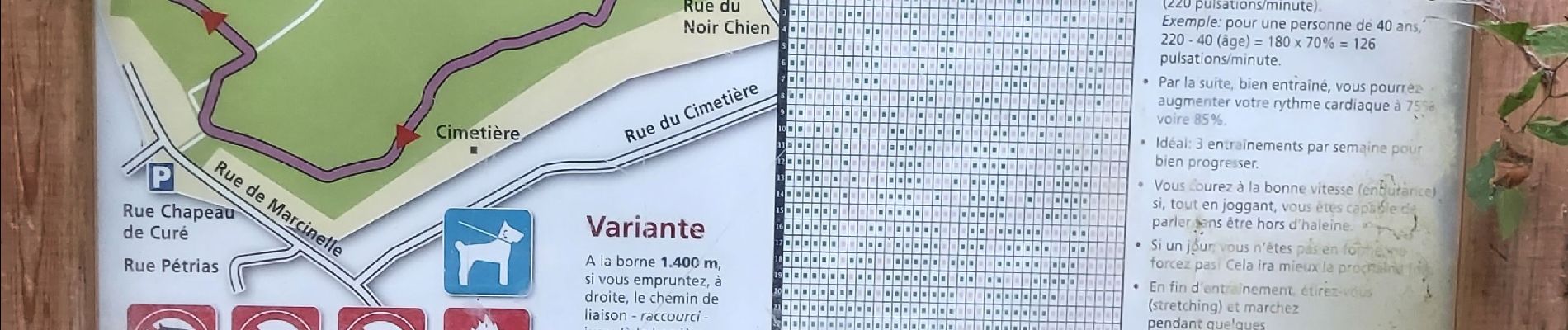
Point de départ : Clercle Saint Charles - Rue de l'église, 72 - 6061 Montignies-Sur-Sambre.
Organisateur : HT 009 - LES TRAINE - SAVATES.
Parcours moyen trop de routes à grande circulation
Localisation
Pays :
Belgique
Région :
Wallonie
Département/Province :
Hainaut
Commune :
Charleroi
Localité :
Unknown
Départ:(Dec)
Départ:(UTM)
605201 ; 5583914 (31U) N.
Commentaires
Randonnées à proximité
![Randonnée Marche Gerpinnes - La promenade des Lacs de Loverval - Photo](https://media.geolcdn.com/t/375/260/ext.jpg?maxdim=2&url=https%3A%2F%2Fstatic1.geolcdn.com%2Fsiteimages%2Fupload%2Ffiles%2F1553511878bg_sport_marche.png)
![Marche Marche](https://static1.geolcdn.com/sitytour/trail-icons/101.png)
La promenade des Lacs de Loverval
Marche
Facile
(7)
Gerpinnes,
Wallonie,
Hainaut,
Belgique
![](/images/other/stat-length.png)
8,5 km | 10,6 km-effort
2h 10min
![](https://static1.geolcdn.com/siteimages/upload/files/16400158638029165_repeat_loop_refresh_sync_direction_icon.png)
Oui
![Randonnée Marche Châtelet - Balade à Châtelet - Des Marchaux à Sébastopol - Photo](https://media.geolcdn.com/t/375/260/ext.jpg?maxdim=2&url=https%3A%2F%2Fservices.sitytrail.com%2FGeolivesWS%2FDownloadMedia.ashx%3FTrailID%3D410537%26Media%3Dac6fc019-bf8a-4700-8d9f-90a7a3df3f48.JPG)
![Marche Marche](https://static1.geolcdn.com/sitytour/trail-icons/101.png)
Balade à Châtelet - Des Marchaux à Sébastopol
Marche
Facile
(4)
Châtelet,
Wallonie,
Hainaut,
Belgique
![](/images/other/stat-length.png)
10,1 km | 12,3 km-effort
2h 40min
![](https://static1.geolcdn.com/siteimages/upload/files/16400158638029165_repeat_loop_refresh_sync_direction_icon.png)
Oui
![Randonnée Marche Châtelet - Balade à Bouffioulx - Photo](https://media.geolcdn.com/t/375/260/ext.jpg?maxdim=2&url=https%3A%2F%2Fservices.sitytrail.com%2FGeolivesWS%2FDownloadMedia.ashx%3FTrailID%3D330019%26Media%3D73210f4e-e164-4450-bb6c-9ce2515b6ee4.JPG)
![Marche Marche](https://static1.geolcdn.com/sitytour/trail-icons/101.png)
Balade à Bouffioulx
Marche
Moyen
(1)
Châtelet,
Wallonie,
Hainaut,
Belgique
![](/images/other/stat-length.png)
9,3 km | 12,7 km-effort
2h 39min
![](https://static1.geolcdn.com/siteimages/upload/files/16400158638029165_repeat_loop_refresh_sync_direction_icon.png)
Oui
![Randonnée Marche Charleroi - RB-Ha-06 - Bois du Cazier - Photo](https://media.geolcdn.com/t/375/260/ext.jpg?maxdim=2&url=https%3A%2F%2Fservices.sitytrail.com%2FGeolivesWS%2FDownloadMedia.ashx%3FTrailID%3D179599%26Media%3D2837e250-a032-4aff-9766-ede65c270e46.jpg)
![Marche Marche](https://static1.geolcdn.com/sitytour/trail-icons/101.png)
RB-Ha-06 - Bois du Cazier
Marche
Très difficile
(4)
Charleroi,
Wallonie,
Hainaut,
Belgique
![](/images/other/stat-length.png)
21 km | 26 km-effort
5h 58min
![](https://static1.geolcdn.com/siteimages/upload/files/16400158638029165_repeat_loop_refresh_sync_direction_icon.png)
Oui
![Randonnée Marche Châtelet - De Bouffioulx à Acoz par le village de Joncret - Photo](https://media.geolcdn.com/t/375/260/ext.jpg?maxdim=2&url=https%3A%2F%2Fservices.sitytrail.com%2FGeolivesWS%2FDownloadMedia.ashx%3FTrailID%3D113314%26Media%3Dffb52b60-d779-4a97-95fd-306bccfd703c.JPG)
![Marche Marche](https://static1.geolcdn.com/sitytour/trail-icons/101.png)
De Bouffioulx à Acoz par le village de Joncret
Marche
Facile
Châtelet,
Wallonie,
Hainaut,
Belgique
![](/images/other/stat-length.png)
13,8 km | 16,8 km-effort
3h 20min
![](https://static1.geolcdn.com/siteimages/upload/files/16400158638029165_repeat_loop_refresh_sync_direction_icon.png)
Oui
![Randonnée Marche Charleroi - RB-Ha-06 - Bois du Cazier - Via raccourci - Photo](https://media.geolcdn.com/t/375/260/ext.jpg?maxdim=2&url=https%3A%2F%2Fservices.sitytrail.com%2FGeolivesWS%2FDownloadMedia.ashx%3FTrailID%3D217913%26Media%3D328ec028-d584-4d34-9075-1fd01a507d0f.jpg)
![Marche Marche](https://static1.geolcdn.com/sitytour/trail-icons/101.png)
RB-Ha-06 - Bois du Cazier - Via raccourci
Marche
Difficile
(4)
Charleroi,
Wallonie,
Hainaut,
Belgique
![](/images/other/stat-length.png)
14,4 km | 18,5 km-effort
4h 11min
![](https://static1.geolcdn.com/siteimages/upload/files/16400158638029165_repeat_loop_refresh_sync_direction_icon.png)
Oui
![Randonnée Marche Charleroi - Balade sur le terril de l'Epine à Montignies-sur-Sambre - Photo](https://media.geolcdn.com/t/375/260/ext.jpg?maxdim=2&url=https%3A%2F%2Fstatic1.geolcdn.com%2Fsiteimages%2Fupload%2Ffiles%2F1553511878bg_sport_marche.png)
![Marche Marche](https://static1.geolcdn.com/sitytour/trail-icons/101.png)
Balade sur le terril de l'Epine à Montignies-sur-Sambre
Marche
Facile
(1)
Charleroi,
Wallonie,
Hainaut,
Belgique
![](/images/other/stat-length.png)
3,3 km | 4,3 km-effort
1h 0min
![](https://static1.geolcdn.com/siteimages/upload/files/16400158638029165_repeat_loop_refresh_sync_direction_icon.png)
Oui
![Randonnée Marche Gerpinnes - Gerpinnes - Balade en verte campagne - Photo](https://media.geolcdn.com/t/375/260/ext.jpg?maxdim=2&url=https%3A%2F%2Fstatic1.geolcdn.com%2Fsiteimages%2Fupload%2Ffiles%2F1553511878bg_sport_marche.png)
![Marche Marche](https://static1.geolcdn.com/sitytour/trail-icons/101.png)
Gerpinnes - Balade en verte campagne
Marche
Facile
(2)
Gerpinnes,
Wallonie,
Hainaut,
Belgique
![](/images/other/stat-length.png)
11,2 km | 13,5 km-effort
2h 50min
![](https://static1.geolcdn.com/siteimages/upload/files/16400158638029165_repeat_loop_refresh_sync_direction_icon.png)
Oui
![Randonnée Marche Ham-sur-Heure-Nalinnes - A la découverte des terrils de Marcinelle au pays de Charleroi - Photo](https://media.geolcdn.com/t/375/260/ext.jpg?maxdim=2&url=https%3A%2F%2Fstatic1.geolcdn.com%2Fsiteimages%2Fupload%2Ffiles%2F1553511878bg_sport_marche.png)
![Marche Marche](https://static1.geolcdn.com/sitytour/trail-icons/101.png)
A la découverte des terrils de Marcinelle au pays de Charleroi
Marche
Facile
(3)
Ham-sur-Heure-Nalinnes,
Wallonie,
Hainaut,
Belgique
![](/images/other/stat-length.png)
13,4 km | 17,2 km-effort
Inconnu
![](https://static1.geolcdn.com/siteimages/upload/files/16400158638029165_repeat_loop_refresh_sync_direction_icon.png)
Oui