![](/images/other/stat-length.png)
![Randonnée Marche Lalley - Rognon - Bouturet - Col des Selles - Photo](https://media.geolcdn.com/t/1900/400/99dacc12-cd68-4751-950e-95d08c71f9b7.jpg&format=pjpeg&maxdim=2)
Rognon - Bouturet - Col des Selles
patjobou
Utilisateur
![Longueur](/images/other/stat-length.png)
![Altitude max](https://static1.geolcdn.com/siteimages/upload/files/1508320355ic_sort_altitude_max_24dp.png)
![Dénivelé positif](https://static1.geolcdn.com/siteimages/upload/files/1508320355ic_sort_den_pos_24dp.png)
![Km-Effort](/images/other/stat-length.png)
![Altitude min](https://static1.geolcdn.com/siteimages/upload/files/1508320355ic_sort_altitude_min_24dp.png)
![Dénivelé négatif](https://static1.geolcdn.com/siteimages/upload/files/1508320355ic_sort_den_neg_24dp.png)
![Boucle](https://static1.geolcdn.com/siteimages/upload/files/16400158638029165_repeat_loop_refresh_sync_direction_icon.png)
![Marche](https://static1.geolcdn.com/sitytour/trail-icons/101.png)
6h18
Difficulté : Moyen
![Scannez ce code QR pour ouvrir la randonnée dans l'application SityTrail](https://capi.geolives.com/qq0zvz2zws4bq2lad0pu/sitytour/trails/2970369/qr.png?size=200)
Application GPS de randonnée GRATUITE
À propos
Randonnée Marche de 15 km à découvrir à Auvergne-Rhône-Alpes, Isère, Lalley. Cette randonnée est proposée par patjobou.
Description
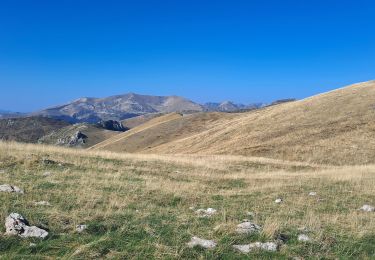
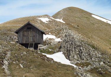
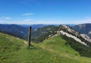
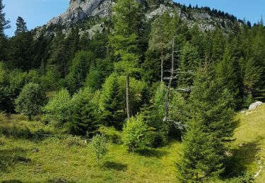
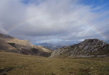
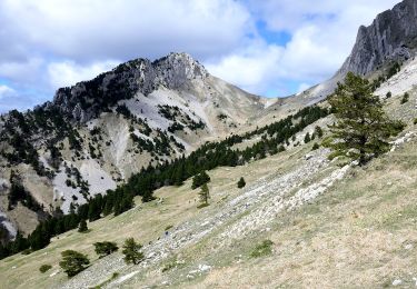
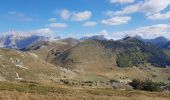
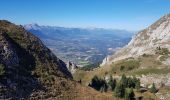
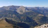
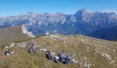
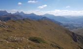
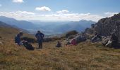
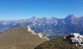
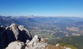
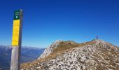
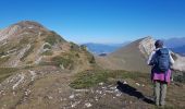
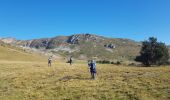
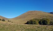
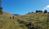
Une très belle boucle de crêtes par un temps idéal. Vue à 360° au sommet du Rognon. Le retour par le col des Selles permet d'éviter de reprendre la piste de montée.
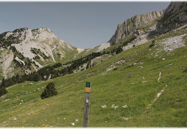
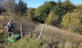
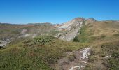
La traversée en dahu vers le nord, après le Bouturet est un peu longue. Il est préférable de suivre l'itinéraire proposé sur l'IGN, qui longe la cloture jusqu’à 1430m environ, puis de rejoindre les nombreuses traces qui remontent vers le Nord, et le Col des Selles. Au Col des Selles on trouvera facilement le passage vers le nord et le vallon de l'Encura. Nous emprunterons ensuite des sentiers oubliés, mais encore visibles et praticables.
Localisation
Commentaires
Randonnées à proximité
![Randonnée Marche Glandage - Le Jocou 2 - Photo](https://media.geolcdn.com/t/375/260/3db953da-6976-42b8-b004-e2f45e4d2956.jpg&format=jpg&maxdim=2)
![Marche Marche](https://static1.geolcdn.com/sitytour/trail-icons/101.png)
Marche
![](/images/other/stat-length.png)
![](https://static1.geolcdn.com/siteimages/upload/files/16400158638029165_repeat_loop_refresh_sync_direction_icon.png)
![Randonnée Marche Lus-la-Croix-Haute - Pointe Feuillette - Photo](https://media.geolcdn.com/t/375/260/c32e652d-9142-443d-9f13-87284c6d10a4.jpg&format=jpg&maxdim=2)
![Marche Marche](https://static1.geolcdn.com/sitytour/trail-icons/101.png)
Marche
![](/images/other/stat-length.png)
![](https://static1.geolcdn.com/siteimages/upload/files/16400158638029165_repeat_loop_refresh_sync_direction_icon.png)
![Randonnée Marche Glandage - Le Jocou-col de Seysse 12km. - Photo](https://media.geolcdn.com/t/375/260/7fa8e50f-0ae3-4fbb-b69e-805ffe4b1242.jpg&format=jpg&maxdim=2)
![Marche Marche](https://static1.geolcdn.com/sitytour/trail-icons/101.png)
Marche
![](/images/other/stat-length.png)
![](https://static1.geolcdn.com/siteimages/upload/files/16400158638029165_repeat_loop_refresh_sync_direction_icon.png)
![Randonnée Marche Glandage - Le Jocou par les crêtes des Amoussières 10km - Photo](https://media.geolcdn.com/t/375/260/eeeff28a-8806-426d-aef8-2ba384b53865.jpg&format=jpg&maxdim=2)
![Marche Marche](https://static1.geolcdn.com/sitytour/trail-icons/101.png)
Marche
![](/images/other/stat-length.png)
![](https://static1.geolcdn.com/siteimages/upload/files/16400158638029165_repeat_loop_refresh_sync_direction_icon.png)
![Randonnée Marche Glandage - Grimone-Le Jocou 12km - Photo](https://media.geolcdn.com/t/375/260/cd25f2bd-a51d-4184-be3b-7961b829b3e2.jpg&format=jpg&maxdim=2)
![Marche Marche](https://static1.geolcdn.com/sitytour/trail-icons/101.png)
Marche
![](/images/other/stat-length.png)
![](https://static1.geolcdn.com/siteimages/upload/files/16400158638029165_repeat_loop_refresh_sync_direction_icon.png)
![Randonnée Marche Lus-la-Croix-Haute - R48 - Gorges des Amayères - Photo](https://media.geolcdn.com/t/375/260/4bbc825f-a565-4275-9665-85da99118f1b.jpg&format=jpg&maxdim=2)
![Marche Marche](https://static1.geolcdn.com/sitytour/trail-icons/101.png)
Marche
![](/images/other/stat-length.png)
![](https://static1.geolcdn.com/siteimages/upload/files/16400158638029165_repeat_loop_refresh_sync_direction_icon.png)
![Randonnée Marche Lus-la-Croix-Haute - Le Rognon - Photo](https://media.geolcdn.com/t/375/260/ext.jpg?maxdim=2&url=https%3A%2F%2Fstatic1.geolcdn.com%2Fsiteimages%2Fupload%2Ffiles%2F1553511878bg_sport_marche.png)
![Marche Marche](https://static1.geolcdn.com/sitytour/trail-icons/101.png)
Marche
![](/images/other/stat-length.png)
![](https://static1.geolcdn.com/siteimages/upload/files/16400158638029165_repeat_loop_refresh_sync_direction_icon.png)
![Marche Marche](https://static1.geolcdn.com/sitytour/trail-icons/101.png)
Marche
![](/images/other/stat-length.png)
![](https://static1.geolcdn.com/siteimages/upload/files/16400158638029165_repeat_loop_refresh_sync_direction_icon.png)
![A pied A pied](https://static1.geolcdn.com/sitytour/trail-icons/100.png)
A pied
![](/images/other/stat-length.png)
![](https://static1.geolcdn.com/siteimages/upload/files/16400158638029165_repeat_loop_refresh_sync_direction_icon.png)