


12 km | 16,9 km-effort

Utilisateur


Application GPS de randonnée GRATUITE
 SityTrail
IGN / Instituts géographiques
SityTrail World
Le monde est à vous
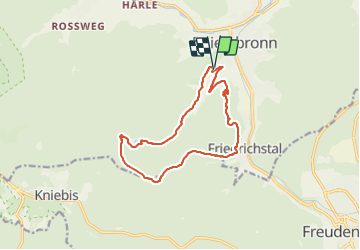
Randonnée Marche de 13 km à découvrir à Bade-Wurtemberg, Landkreis Freudenstadt, Baiersbronn. Cette randonnée est proposée par Bart2015.
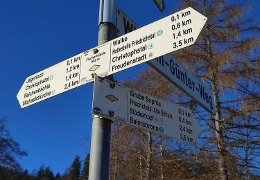
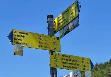
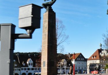
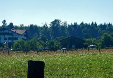
Belle randonnée en Forêt Noire pour découvrir un lac glacière et surtout la cascade de Sankenbach. Fait amusant, le volume d'eau de la cascade peut être régulé par un système astucieux en haut de la cascade ... En fin de randonnée une super vue sur le village vous attend ...
Bonne randonnée


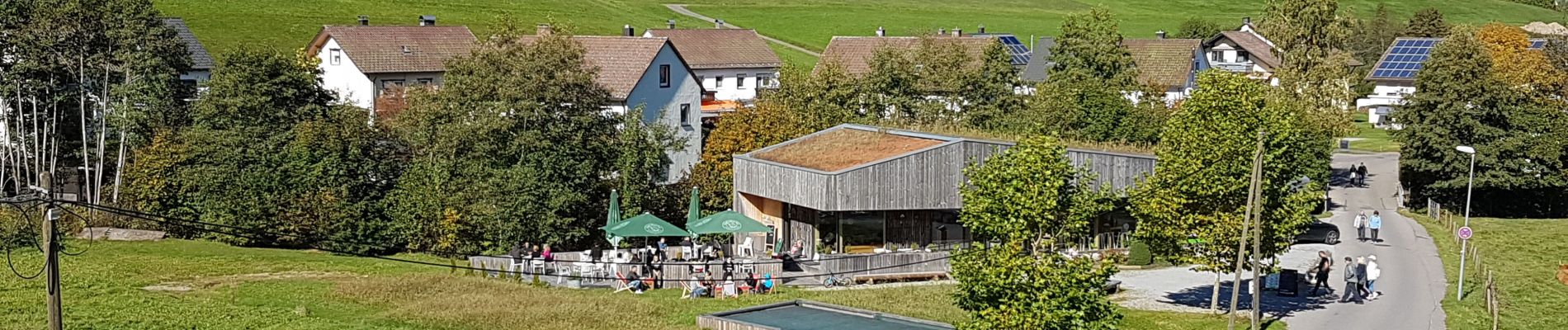
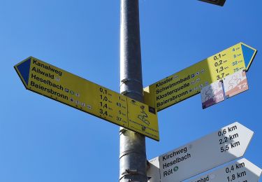
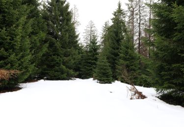
32 photos au total. Cliquez sur une photo pour les afficher toutes dans la galerie.
A pied

A pied
A pied
A pied
A pied
A pied
A pied
A pied
A pied