


17,9 km | 22 km-effort


Utilisateur


Application GPS de randonnée GRATUITE
 SityTrail
IGN / Instituts géographiques
SityTrail World
Le monde est à vous
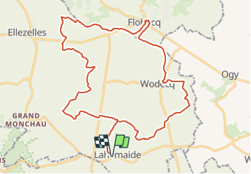
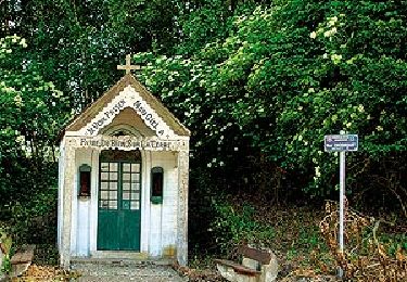
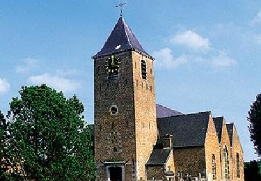
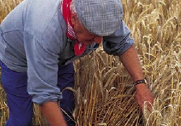
Randonnée Marche de 23 km à découvrir à Wallonie, Hainaut, Ellezelles. Cette randonnée est proposée par Greg813.
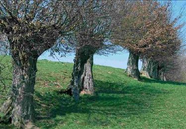
Randonnée avec Mettons le Monde en Marche au coeur du Parc naturel du Pays des Collines.
Pour d'autres photos, voir le site de l'association :
https://mmm-rando.org/randonnee-au-pays-des-collines-2021/
Marche
Marche
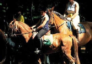
Cheval

A pied
A pied
A pied
A pied

A pied

A pied