


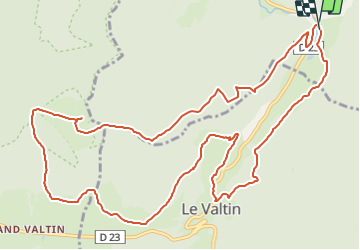

15,6 km | 26 km-effort

Utilisateur


Application GPS de randonnée GRATUITE
 SityTrail
IGN / Instituts géographiques
SityTrail World
Le monde est à vous
Randonnée Marche de 14,2 km à découvrir à Grand Est, Vosges, Plainfaing. Cette randonnée est proposée par nfranche.
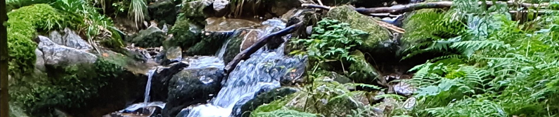
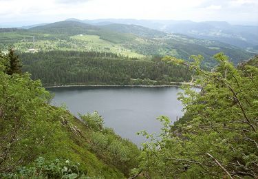
Très belle randonnée au départ du joli site de l'étang du Rudlin. Démarre par une grosse montée longue. De beaux sentiers forestiers, de belles vues notamment sur les roches du Valtin.
Attention quelques passages délicats surtout par temps humide !


Autre activité

Marche

Marche

Marche

V.T.T.

Marche
A pied

Marche
Marche