11,1 km | 16,6 km-effort
Kra
duchaine.nicolas
Utilisateur
Longueur
25 km
Altitude max
885 m
Dénivelé positif
847 m
Km-Effort
36 km
Altitude min
316 m
Dénivelé négatif
844 m
Boucle
Oui
Date de création :
2021-10-03 08:06:43.69
Dernière modification :
2021-10-03 10:39:01.797
2h31
Difficulté : Facile
2h31
Difficulté : Facile
Application GPS de randonnée GRATUITE
À propos
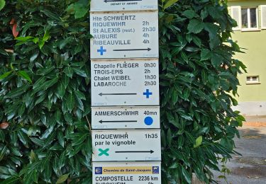
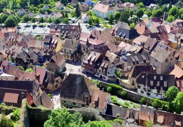
Randonnée V.T.T. de 25 km à découvrir à Grand Est, Haut-Rhin, Fréland. Cette randonnée est proposée par duchaine.nicolas.
Localisation
Pays :
France
Région :
Grand Est
Département/Province :
Haut-Rhin
Commune :
Fréland
Localité :
Unknown
Départ:(Dec)
Départ:(UTM)
365794 ; 5337175 (32U) N.
Commentaires
Randonnées à proximité
2012-06-16 Marche aux Alisiers Orbey
Marche
Facile
(2)
Lapoutroie,
Grand Est,
Haut-Rhin,
France
2h 49min
Oui
Du ⛺️ aux 4 villages
Marche
Moyen
Kaysersberg-Vignoble,
Grand Est,
Haut-Rhin,
France
12,9 km | 15,1 km-effort
3h 30min
Oui
2021-05-30 Marche Kaysersberg Ursprung St Alexis
Marche
Très difficile
Kaysersberg-Vignoble,
Grand Est,
Haut-Rhin,
France
17,1 km | 26 km-effort
4h 46min
Oui
2019-11-03 WE Aubure Taennchel
Randonnée équestre
Très facile
Aubure,
Grand Est,
Haut-Rhin,
France
27 km | 41 km-effort
7h 45min
Oui
2019-11-02 WE Aubure Brezouard
Randonnée équestre
Très facile
Aubure,
Grand Est,
Haut-Rhin,
France
25 km | 39 km-effort
5h 57min
Oui
2019-10-26 CDTE67 Tournage Video Promotion TE
Randonnée équestre
Facile
Kaysersberg-Vignoble,
Grand Est,
Haut-Rhin,
France
24 km | 29 km-effort
24min
Non
Le tour de Kysersberg
Marche
Moyen
(1)
Kaysersberg-Vignoble,
Grand Est,
Haut-Rhin,
France
7,9 km | 11,7 km-effort
2h 34min
Oui
L'étang du Devin depuis Lapoutroie.
Marche
Difficile
Lapoutroie,
Grand Est,
Haut-Rhin,
France
10,3 km | 17,2 km-effort
3h 54min
Oui
De Kaysersberg à l'auberge St Alexis
Marche
Difficile
Kaysersberg-Vignoble,
Grand Est,
Haut-Rhin,
France
11,9 km | 18,8 km-effort
4h 15min
Oui