


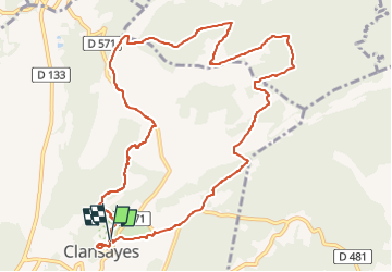

12,6 km | 16,6 km-effort

Utilisateur GUIDE


Application GPS de randonnée GRATUITE
 SityTrail
IGN / Instituts géographiques
SityTrail World
Le monde est à vous
Randonnée Marche de 12,4 km à découvrir à Auvergne-Rhône-Alpes, Drôme, Clansayes. Cette randonnée est proposée par thonyc.
Très jolie rando.
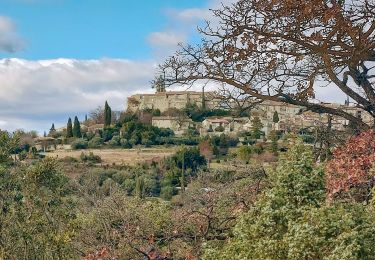
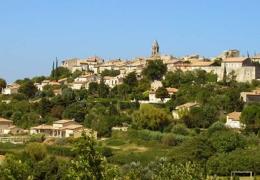
Village très bien restauré.
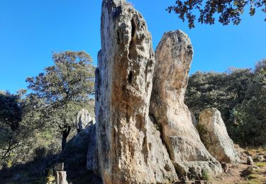
Les Jumelles de Rozet.
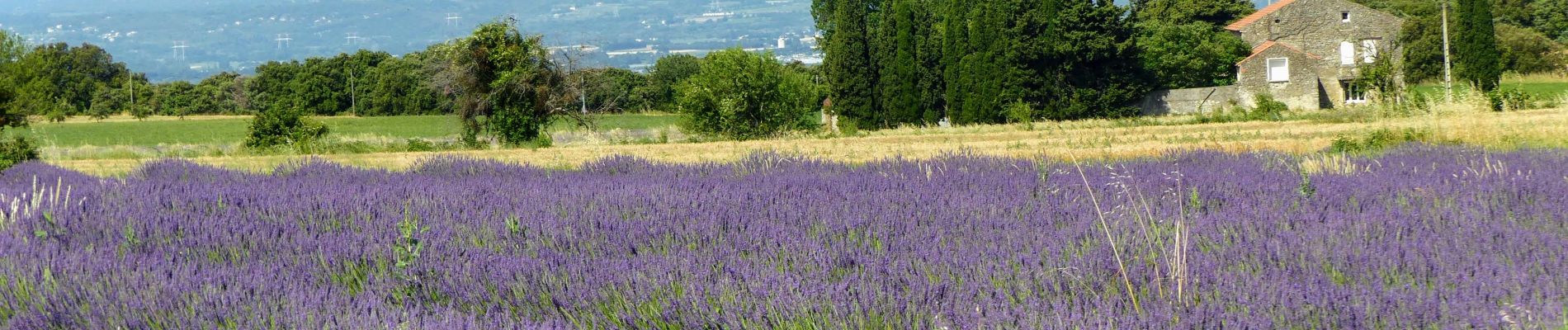
Le plateau du Rouvergue et ses champs de lavandes.
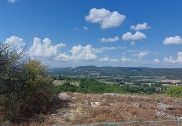
De belles vues sur la vallée du Rhône.


Marche

Marche
Marche

Marche
Marche
Marche
Marche

Marche

Marche