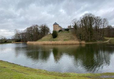
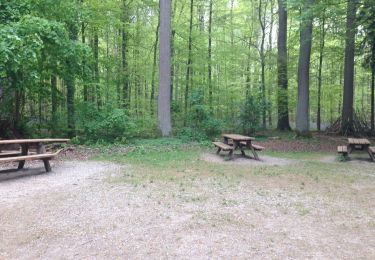
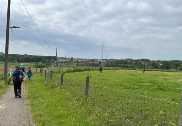
7,2 km | 8,6 km-effort
Breedhoud- Pepigen-via Donkerstraat
Matamimi
Utilisateur
Longueur
8,6 km
Altitude max
54 m
Dénivelé positif
89 m
Km-Effort
9,8 km
Altitude min
28 m
Dénivelé négatif
90 m
Boucle
Oui
Date de création :
2021-09-30 13:20:48.41
Dernière modification :
2021-09-30 15:15:26.003
1h53
Difficulté : Facile
Application GPS de randonnée GRATUITE
À propos
Randonnée Marche de 8,6 km à découvrir à Flandre, Brabant flamand, Hal. Cette randonnée est proposée par Matamimi.
Localisation
Pays :
Belgique
Région :
Flandre
Département/Province :
Brabant flamand
Commune :
Hal
Localité :
Hal
Départ:(Dec)
Départ:(UTM)
584729 ; 5623542 (31U) N.
Commentaires
Randonnées à proximité
gaasbeek (départ du parking du château)
Marche
Moyen
(1)
Lennik,
Flandre,
Brabant flamand,
Belgique
1h 57min
Non
Autour de Gaasbeek
Marche
Facile
(1)
Lennik,
Flandre,
Brabant flamand,
Belgique
9,1 km | 10,9 km-effort
2h 10min
Oui
pajottenland_0521
Marche
Moyen
(1)
Leeuw-Saint-Pierre,
Flandre,
Brabant flamand,
Belgique
8,7 km | 9,7 km-effort
2h 14min
Oui
Bois Halle tracé
Marche
Très facile
(1)
Hal,
Flandre,
Brabant flamand,
Belgique
8,2 km | 9,8 km-effort
1h 46min
Oui
Leeuw Saint Pierre 21,6 km
Marche
Facile
Leeuw-Saint-Pierre,
Flandre,
Brabant flamand,
Belgique
22 km | 25 km-effort
5h 49min
Oui
Gaasbeeck matin
Marche
Très facile
(3)
Lennik,
Flandre,
Brabant flamand,
Belgique
9,4 km | 10,8 km-effort
2h 34min
Oui
hallerbos jacinthe
Marche
Facile
(2)
Hal,
Flandre,
Brabant flamand,
Belgique
10,3 km | 12,6 km-effort
1h 55min
Oui
Lembeek 27 km
Marche
Moyen
Hal,
Flandre,
Brabant flamand,
Belgique
27 km | 34 km-effort
8h 13min
Oui
#240419 - Bois de Hal à partir du parking n°1, par la cuvette du Steenputbeek...
Marche
Moyen
(1)
Hal,
Flandre,
Brabant flamand,
Belgique
6,9 km | 8,5 km-effort
1h 55min
Oui